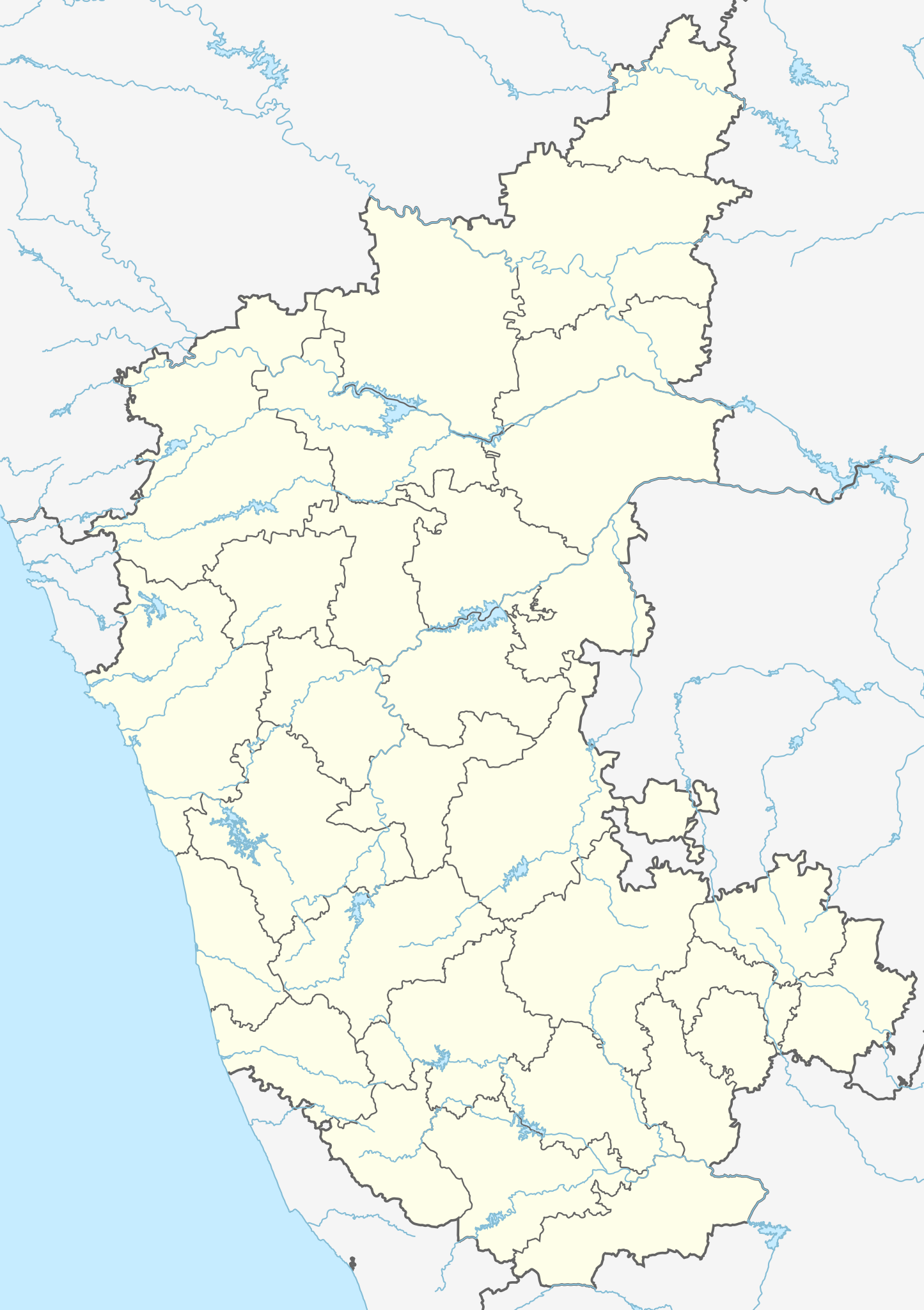
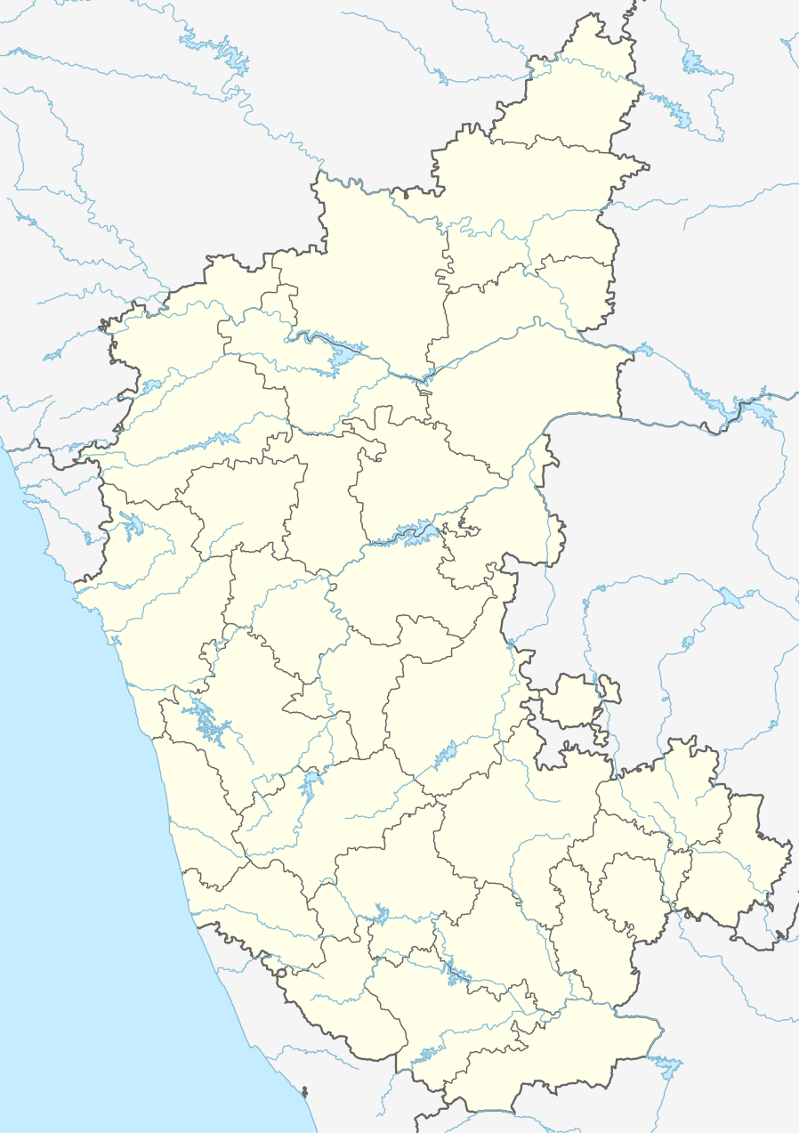
File:India Karnataka location map.svg

Size of this PNG preview of this SVG file: 423 × 600 pixels. Ither resolutions: 169 × 240 pixels | 338 × 480 pixels | 542 × 768 pixels | 722 × 1,024 pixels | 1,445 × 2,048 pixels | 898 × 1,273 pixels.
Oreeginal file (SVG file, nominallie 898 × 1,273 pixels, file size: 759 KB)
| Descreeption |
Location map of Karnataka Geographic limits of the map:
|
| Date | (UTC) |
| Soorce | |
| Author |
|
| Other versions |
Derivative works of this file: |
| This is a retouched picture, which means that it has been digitally altered from its original version. Modifications: Created 3 new districts Chikkaballapur, Ramanagara and Yadgir. Changed conventions per WP:WPMAP. The original can be viewed here: Karnataka locator map.svg:
|
This file is licensed unner the Creative Commons Attribution-Share Alike 3.0 Unported license.
- Ye are free:
- tae share – tae copy, distribute an transmit the wirk
- tae remix – tae adapt the wirk
- Unner the follaein condeetions:
- attribution – Ye must attribute the wirk in the manner specified bi the author or licensor (but nae in ony way that suggests that thay endorse ye or yer uise o the wirk).
- share alik – If ye alter, transform, or big upon this wirk, ye mey distribute the resultin wirk anly unner the same or seemilar license tae this ane.
Original upload log
This image is a derivative work of the following images:
- File:Karnataka_locator_map.svg licensed with Cc-by-sa-3.0
- 2007-05-06T13:55:02Z Planemad 1630x2356 (231773 Bytes) {{WikiProject_India_Maps |Title=Karnataka locator Map |Description=Map of [[w:Karnataka]] with road and rail lines |Source= [http://aquarium.lipetsk.ru/discovery/India2004/karnataka-map.jpg Karnataka Map], [http://www.indianr
Uploaded with derivativeFX
File history
Clap oan ae date/time fer tae see the file aes it kithed at that time.
| Date/Time | Thummnail | Dimensions | Uiser | Comment | |
|---|---|---|---|---|---|
| current | 03:10, 16 Juin 2023 | | 898 × 1,273 (759 KB) | C1MM | c Vijayanagara district |
| 04:41, 13 August 2021 |  | 851 × 1,211 (582 KB) | C1MM | Added more rivers | |
| 03:33, 16 Julie 2021 |  | 851 × 1,211 (561 KB) | C1MM | Added more accurate district boundaries | |
| 23:41, 14 December 2020 |  | 1,634 × 2,367 (341 KB) | C1MM | Fixed boundaries of Vijayanagara district | |
| 22:10, 14 December 2020 |  | 1,634 × 2,367 (345 KB) | C1MM | Added boundaries of AP/Telangana and rivers | |
| 19:26, 13 December 2020 |  | 1,634 × 2,367 (342 KB) | C1MM | Fixed district boundaries of Ballari and added Vijayanagara district | |
| 03:53, 21 Apryle 2020 |  | 1,634 × 2,367 (289 KB) | C1MM | Added rivers | |
| 15:50, 15 November 2010 |  | 1,630 × 2,356 (207 KB) | Nayvik | Changed background color | |
| 15:34, 15 November 2010 |  | 1,630 × 2,356 (206 KB) | Nayvik | {{Information |Description=Location map of Karnataka Geographic limits of the map: * 18.5°N * 11.0°N * 73.6°E * 78.7°E |Source=*File:Karnataka_locator_map.svg, [http://www.censusindia.gov.in/2011-Images/ADMINI2011.jpg Census In |
Eimage airtins
The follaein pages airts tae this image:
Global file uisage
The follaein ither wikis uise this file:
- Uisage on ar.wikipedia.org
- Uisage on as.wikipedia.org
- Uisage on azb.wikipedia.org
- تومکور
- بنقلور
- عباسی، کارناتاکا
- اودقولام
- پیکلیهال
- اوداجی (هیندوستان)
- اوچیلا, اودوپی دیستریکت
- اوچاواد
- او خاناپور
- ویراهانوماکاناپالیا
- فاجیر (هیندوستان)
- پتالور (هیندوستان)
- پت آماپور
- ویراکامبا
- ویراپور
- وانور (هیندوستان)
- ساتیجری
- ساتانور, ماقادی
- ساتانور, بانقالور
- ساسالاتی
- سارقور
- ساراواد
- ساراپادی
- ساپتاساقار
- سانتور
- سانتکاسالاجر
- مایاکوندا
- ساناتی
- ماویناکر
- ماوالی
- ماتیواد
- کالادکا
- سانیکاتا
- کالکونت
- کالکری
- ماتماری
- سانقاناهالا
- کالجی (هیندوستان)
- سانقامشوارا, کالاقاتاجی
- ماتاداکوروباراهاتی
- ماستیهولی
- کالاسا, کوندقول
- ماسارکال
- ماسابینال
View mair global usage o this file.