File:Hamar from air.jpg
Size o this luikower: 800 × 533 pixels. Ither resolutions: 320 × 213 pixels | 640 × 427 pixels | 1,024 × 683 pixels | 1,280 × 853 pixels | 2,560 × 1,707 pixels | 3,888 × 2,592 pixels.
Oreeginal file (3,888 × 2,592 pixels, file size: 3.65 MB, MIME type: image/jpeg)
Ootline
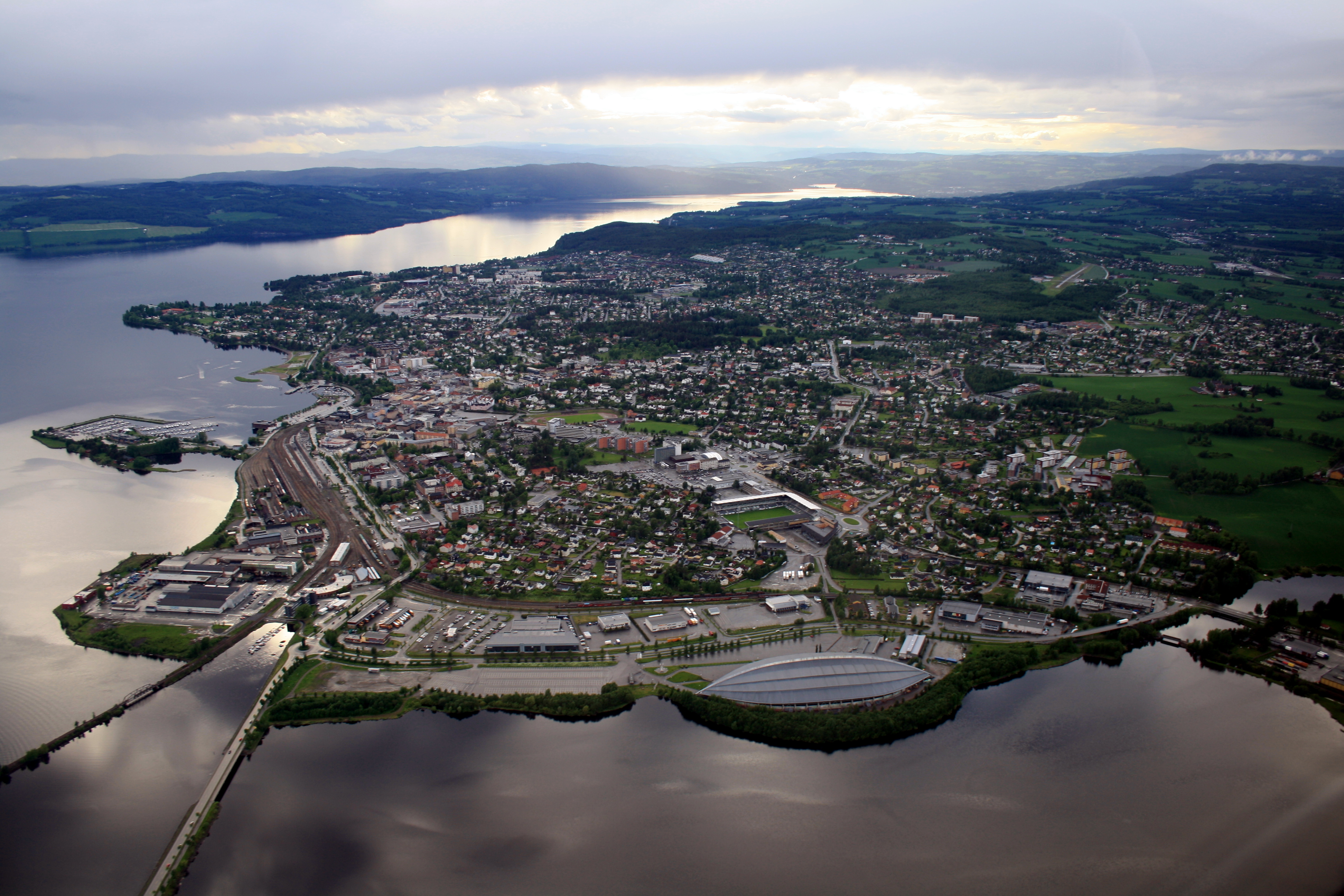
| Descreeption | Hamar from air |
| Date | |
| Soorce | Hamar from air |
| Author | John Christian Fjellestad |
| Camera location | | View this and other nearby images on: OpenStreetMap |
|---|
Licensin
This file is licensed under the Creative Commons Attribution 3.0 Unported license.
- Ye are free:
- tae share – tae copy, distribute an transmit the wirk
- tae remix – tae adapt the wirk
- Unner the follaein condeetions:
- attribution – Ye must attribute the wirk in the manner specified bi the author or licensor (but nae in ony way that suggests that thay endorse ye or yer uise o the wirk).
| This image, which was originally posted to Panoramio, was reviewed on 14 September 2011 by the administrator or trusted user Warfieldian, who confirmed that it was available on Panoramio under the above license on that date. |
File history
Clap oan ae date/time fer tae see the file aes it kithed at that time.
| Date/Time | Thummnail | Dimensions | Uiser | Comment | |
|---|---|---|---|---|---|
| current | 15:17, 13 September 2011 | | 3,888 × 2,592 (3.65 MB) | Torstein | {{Information |Description=Hamar from air |Source=[http://www.panoramio.com/photo/44007748 Hamar from air] |Date=2009-06-13 18:30 |Author=[http://www.panoramio.com/user/1824654 Jon Kristian Fjellestad] |Permission= |other_versions= }} {{Location dec|60.78 |
Eimage airtins
The'r nae pages airts tae this eimage.
Global file uisage
The follaein ither wikis uise this file:
- Uisage on ar.wikipedia.org
- Uisage on arz.wikipedia.org
- Uisage on avk.wikipedia.org
- Uisage on azb.wikipedia.org
- Uisage on bat-smg.wikipedia.org
- Uisage on ba.wikipedia.org
- Uisage on be.wikipedia.org
- Uisage on ca.wikipedia.org
- Uisage on ceb.wikipedia.org
- Uisage on cs.wikipedia.org
- Uisage on de.wikipedia.org
- Uisage on de.wikivoyage.org
- Uisage on el.wikipedia.org
- Uisage on en.wikipedia.org
- Uisage on en.wikivoyage.org
- Uisage on es.wikipedia.org
- Uisage on et.wikipedia.org
- Uisage on eu.wikipedia.org
- Uisage on fa.wikipedia.org
- Uisage on fi.wikipedia.org
- Uisage on fr.wikipedia.org
- Uisage on fr.wikivoyage.org
- Uisage on fy.wikipedia.org
- Uisage on he.wikivoyage.org
- Uisage on is.wikipedia.org
- Uisage on it.wikipedia.org
- Uisage on ja.wikipedia.org
- Uisage on ko.wikipedia.org
- Uisage on la.wikipedia.org
- Uisage on lv.wikipedia.org
- Uisage on myv.wikipedia.org
- Uisage on nl.wikipedia.org
View mair global usage o this file.