File:Hama, Syria.jpg
Size o this luikower: 800 × 600 pixels. Ither resolutions: 320 × 240 pixels | 640 × 480 pixels | 1,024 × 768 pixels | 1,280 × 960 pixels | 2,560 × 1,920 pixels | 3,456 × 2,592 pixels.
Oreeginal file (3,456 × 2,592 pixels, file size: 2.84 MB, MIME type: image/jpeg)
Ootline
| Descreeption |
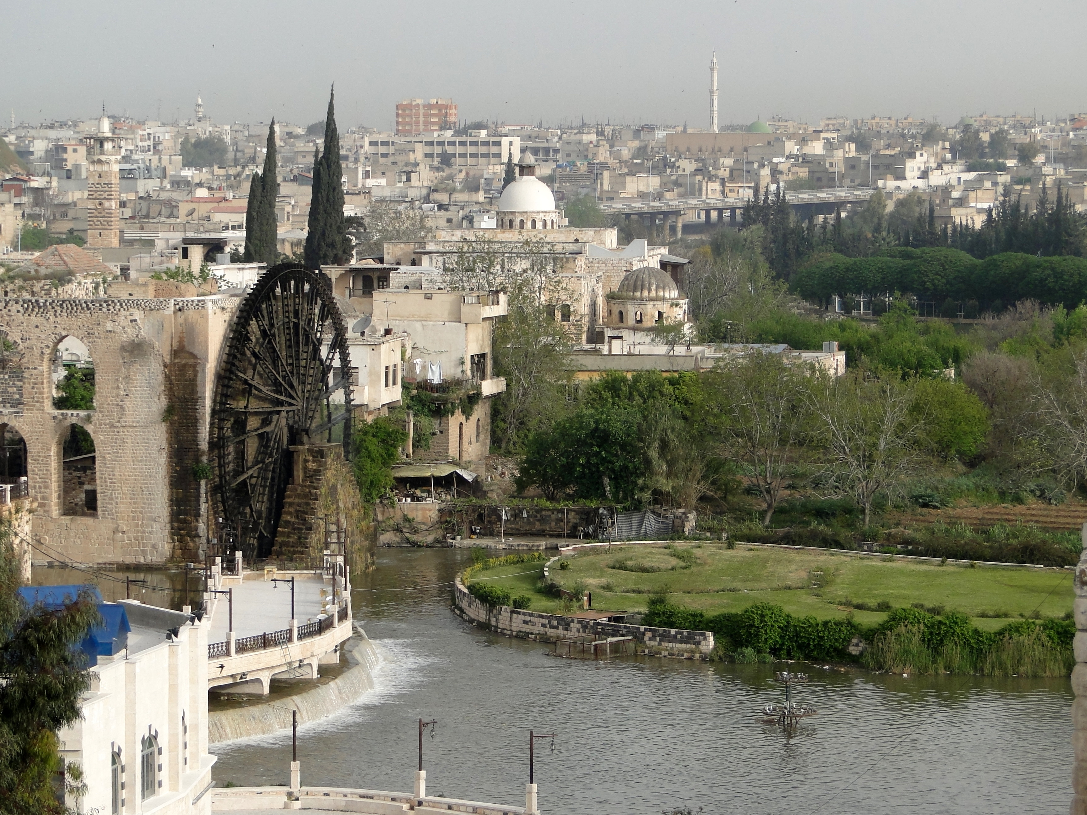
English: View of the city of Hama in Syria
Français : Vue de la ville de Hama en Syrie |
| Date | |
| Soorce | Ain wirk |
| Author | Bernard Gagnon |
| Camera location | | View this and other nearby images on: OpenStreetMap |
|---|
Licensin
I, the copyright holder of this work, hereby publish it under the following licenses:

|
Permission is grantit tae copy, distribute an/or modify this document unner the terms o the GNU Free Documentation License, Version 1.2 or ony later version published bi the Free Software Foundation; wi no Invariant Sections, no Front-Cover Texts, an no Back-Cover Texts. A copy o the license is includit in the section enteetled GNU Free Documentation License. |
This file is licensed under the Creative Commons Attribution-Share Alike 3.0 Unported, 2.5 Generic, 2.0 Generic and 1.0 Generic license.
- Ye are free:
- tae share – tae copy, distribute an transmit the wirk
- tae remix – tae adapt the wirk
- Unner the follaein condeetions:
- attribution – Ye must attribute the wirk in the manner specified bi the author or licensor (but nae in ony way that suggests that thay endorse ye or yer uise o the wirk).
- share alik – If ye alter, transform, or big upon this wirk, ye mey distribute the resultin wirk anly unner the same or seemilar license tae this ane.
Ye mey select the license o yer choice.
This image has been assessed using the Quality image guidelines and is considered a Quality image.
|
File history
Clap oan ae date/time fer tae see the file aes it kithed at that time.
| Date/Time | Thummnail | Dimensions | Uiser | Comment | |
|---|---|---|---|---|---|
| current | 22:19, 6 August 2010 | | 3,456 × 2,592 (2.84 MB) | Bgag | {{Information |Description={{en|1=View of the city of en:Hama in Syria}} {{fr|1=Vue de la ville de fr:Hama en Syrie}} |Source={{own}} |Author=Bernard Gagnon |Date=2010-04-03 |Permission= |other_versions= }} •{{location|35|7|52. |
Eimage airtins
The follaein pages airts tae this image:
Global file uisage
The follaein ither wikis uise this file:
- Uisage on arc.wikipedia.org
- Uisage on ar.wikipedia.org
- الوطن العربي
- بلاد الشام
- حماة
- سوريا
- التقسيم الإداري في سوريا
- قالب:المدن الكبرى في سوريا
- قالب:أكبر المناطق الحضرية في الشام
- مستخدم:عبد المؤمن/مصور/بلاد
- بوابة:العالم الإسلامي/صورة مختارة/أرشيف
- بوابة:العالم الإسلامي/صورة مختارة/22
- بوابة:العالم الإسلامي
- قائمة المواقع التراثية المتضررة في الحرب الأهلية السورية
- Uisage on az.wikipedia.org
- Uisage on be.wikipedia.org
- Uisage on bn.wikipedia.org
- Uisage on ckb.wikipedia.org
- Uisage on diq.wikipedia.org
- Uisage on el.wikipedia.org
- Uisage on en.wikipedia.org
- Uisage on en.wikinews.org
- Uisage on es.wikipedia.org
- Uisage on es.wikivoyage.org
- Uisage on eu.wikipedia.org
- Uisage on fa.wikipedia.org
- Uisage on fr.wikipedia.org
- Uisage on he.wikipedia.org
- Uisage on hr.wikipedia.org
- Uisage on id.wikipedia.org
- Uisage on incubator.wikimedia.org
- Uisage on nn.wikipedia.org
- Uisage on no.wikipedia.org
- Uisage on pl.wiktionary.org
- Uisage on pt.wikipedia.org
- Uisage on ro.wikipedia.org
- Uisage on sk.wikipedia.org
View mair global usage o this file.