File:Guatemala (orthographic projection).svg

Size of this PNG preview of this SVG file: 550 × 550 pixels. Ither resolutions: 240 × 240 pixels | 480 × 480 pixels | 768 × 768 pixels | 1,024 × 1,024 pixels | 2,048 × 2,048 pixels.
Oreeginal file (SVG file, nominallie 550 × 550 pixels, file size: 1,019 KB)
.svg)
Gwatamala
Ootline
| Descreeption |
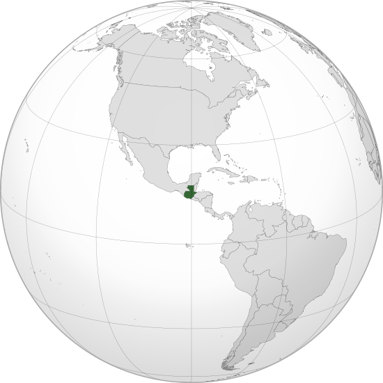
English: Orthographic map of Guatemala centered at 15° N, 90° W.
Official territory.
Claimed territories. Русский: Ортографическая карта Гватемалы с центром в 15° N, 90° W.
Официальная территория.
Заявляемые территории. |
| Date | |
| Soorce |
Ain wirk with Natural Earth Data This W3C-unspecified vector image was created with Inkscape . |
| Author | Addicted04 |
Licensin
I, the copyright holder of this work, hereby publish it under the following license:
This file is licensed unner the Creative Commons Attribution-Share Alike 3.0 Unported license.
- Ye are free:
- tae share – tae copy, distribute an transmit the wirk
- tae remix – tae adapt the wirk
- Unner the follaein condeetions:
- attribution – Ye must attribute the wirk in the manner specified bi the author or licensor (but nae in ony way that suggests that thay endorse ye or yer uise o the wirk).
- share alik – If ye alter, transform, or big upon this wirk, ye mey distribute the resultin wirk anly unner the same or seemilar license tae this ane.
File history
Clap oan ae date/time fer tae see the file aes it kithed at that time.
| Date/Time | Thummnail | Dimensions | Uiser | Comment | |
|---|---|---|---|---|---|
| current | 20:04, 12 Julie 2012 | | 550 × 550 (1,019 KB) | Addicted04 |
Eimage airtins
The follaein pages airts tae this image:
Global file uisage
The follaein ither wikis uise this file:
- Uisage on ady.wikipedia.org
- Uisage on af.wikipedia.org
- Uisage on ami.wikipedia.org
- Uisage on ar.wikipedia.org
- مستخدم:جار الله/قائمة صور مقالات العلاقات الثنائية
- العلاقات البيلاروسية الغواتيمالية
- العلاقات الغواتيمالية الكندية
- العلاقات الغواتيمالية الهندوراسية
- العلاقات الإسواتينية الغواتيمالية
- العلاقات البوتسوانية الغواتيمالية
- العلاقات العراقية الغواتيمالية
- العلاقات الصومالية الغواتيمالية
- العلاقات الأفغانية الغواتيمالية
- ويكيبيديا:ورشة الصور/أرشيف 36
- Uisage on arz.wikipedia.org
- Uisage on ast.wikipedia.org
- Uisage on avk.wikipedia.org
- Uisage on azb.wikipedia.org
- Uisage on az.wikipedia.org
- Uisage on az.wiktionary.org
- Uisage on ba.wikipedia.org
- Uisage on be-tarask.wikipedia.org
- Uisage on be.wikipedia.org
- Uisage on bg.wikipedia.org
- Uisage on bh.wikipedia.org
- Uisage on bn.wikipedia.org
- Uisage on ca.wikipedia.org
- Uisage on cdo.wikipedia.org
- Uisage on ceb.wikipedia.org
- Uisage on ce.wikipedia.org
- Uisage on ckb.wikipedia.org
- Uisage on cs.wikipedia.org
- Uisage on de.wikivoyage.org
- Uisage on diq.wikipedia.org
- Uisage on dty.wikipedia.org
- Uisage on el.wikipedia.org
- Uisage on en.wikipedia.org
- Chiquimula Department
- Jutiapa Department
- Guatemala Department
- San Marcos Department
- Zacapa Department
- List of sovereign states and dependent territories in North America
- Guatemala
- LGBT rights in Guatemala
- List of companies of Guatemala
- Violence against women in Guatemala
- Wikipedia:Graphics Lab/Map workshop/Archive/Feb 2018
View mair global usage o this file.
.svg)
.svg)