File:Georgia districts.png
Size o this luikower: 800 × 548 pixels. Ither resolutions: 320 × 219 pixels | 640 × 439 pixels | 1,024 × 702 pixels | 1,281 × 878 pixels.
Oreeginal file (1,281 × 878 pixels, file size: 27 KB, MIME type: image/png)
Ootline
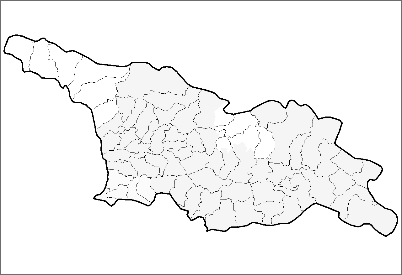
| Descreeption | Map of the districts of the country of Georgia. | ||
| Date | (UTC) | ||
| Soorce | Ain wirk | ||
| Author | Rarelibra | ||
| Permission (Reuisin this file) |
|
||
| Other versions | Derivative works of this file: Georgia districts extended.png |
Licensin
| This work has been released into the public domain by its author, I, Rarelibra. This applies worldwide. In some countries this may not be legally possible; if so: I, Rarelibra grants anyone the right to use this work for any purpose, without any conditions, unless such conditions are required by law. |
File history
Clap oan ae date/time fer tae see the file aes it kithed at that time.
| Date/Time | Thummnail | Dimensions | Uiser | Comment | |
|---|---|---|---|---|---|
| current | 14:54, 1 Mairch 2020 | | 1,281 × 878 (27 KB) | Claude Zygiel | Black, grey & white, and differenciate the former autonomous regions (lighter) and the "out of the georgian control territories" (white). |
| 13:37, 12 Apryle 2007 |  | 1,281 × 878 (23 KB) | Rarelibra | Map of the districts of the country of Georgia. Created by ~~~~ for public domain use, using MapInfo Professional v8.5 and various mapping resources. |
Eimage airtins
The follaein pages airts tae this image:
Global file uisage
The follaein ither wikis uise this file:
- Uisage on de.wikipedia.org
- Uisage on he.wikipedia.org
- Uisage on hy.wikipedia.org
- Uisage on lt.wikipedia.org
- Uisage on pam.wikipedia.org
- Uisage on sq.wikipedia.org
- Uisage on sv.wikipedia.org
- Uisage on uk.wikipedia.org
- Uisage on war.wikipedia.org