File:Farringdon station MMB 22 S-Stock.jpg

Size o this luikower: 800 × 519 pixels. Ither resolutions: 320 × 208 pixels | 640 × 415 pixels | 1,024 × 664 pixels | 1,280 × 830 pixels | 2,560 × 1,660 pixels | 3,816 × 2,475 pixels.
Oreeginal file (3,816 × 2,475 pixels, file size: 3.69 MB, MIME type: image/jpeg)
| Descreeption |
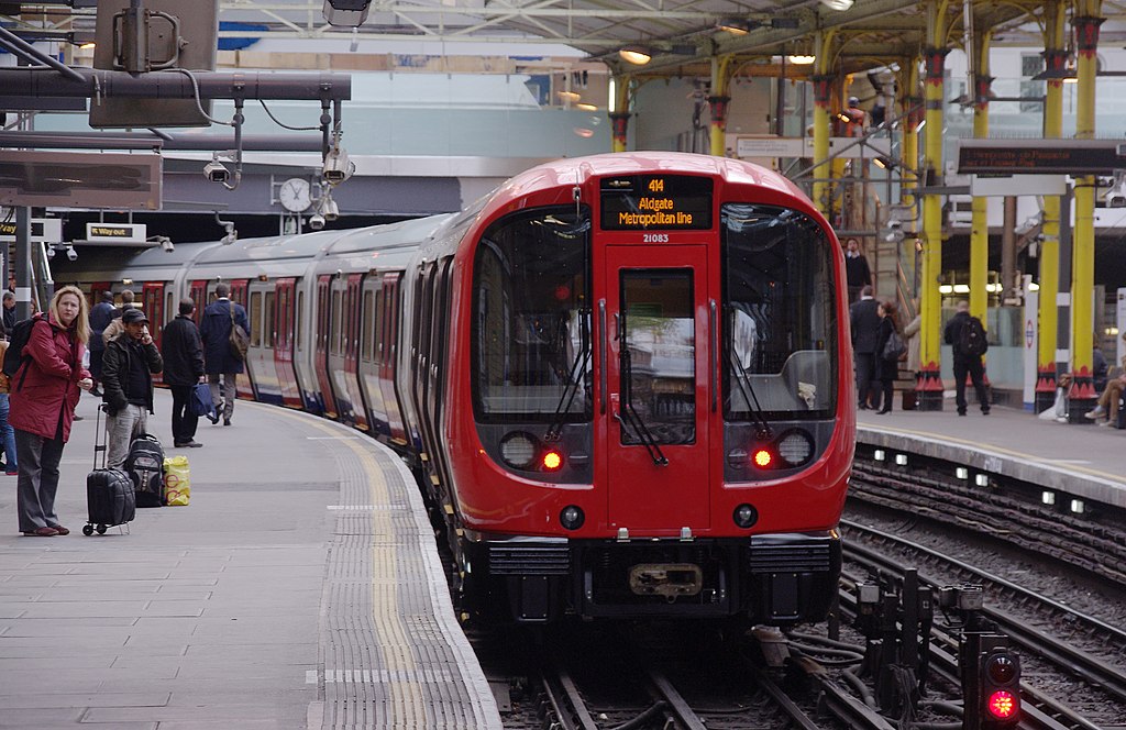
English: A new London Underground S Stock train departs Farringdon with a Metropolitan Line service to Aldgate. |
||
| Date | |||
| Soorce | Ain wirk by mattbuck. | ||
| Author | mattbuck (category) | ||
| Permission (Reuisin this file) |
This file is licensed under the Creative Commons Attribution-Share Alike 2.0 Generic license.
This file is licensed unner the Creative Commons Attribution-Share Alike 3.0 Unported license.
|
||
| Other versions | Uploaded to flickr. |

| Camera location | | View this and other nearby images on: OpenStreetMap |
|---|
File history
Clap oan ae date/time fer tae see the file aes it kithed at that time.
| Date/Time | Thummnail | Dimensions | Uiser | Comment | |
|---|---|---|---|---|---|
| current | 21:54, 28 Julie 2014 | | 3,816 × 2,475 (3.69 MB) | Mattbuck | rework |
| 06:23, 28 Julie 2014 |  | 3,816 × 2,475 (1.04 MB) | Bleakcomb | Correct image. Exposure, contrast, colour, sharpen. | |
| 21:10, 16 Februar 2013 |  | 3,816 × 2,475 (2.97 MB) | Mattbuck | User created page with UploadWizard |
Eimage airtins
The'r nae pages airts tae this eimage.
Global file uisage
The follaein ither wikis uise this file:
- Uisage on ca.wikipedia.org
- Uisage on de.wikipedia.org
- Uisage on en.wikipedia.org
- Uisage on fa.wikipedia.org
- Uisage on fo.wikipedia.org
- Uisage on fr.wikipedia.org
- Uisage on hu.wikipedia.org
- Uisage on id.wikipedia.org
- Uisage on ja.wikipedia.org
- Uisage on ko.wikipedia.org
- Uisage on ku.wikipedia.org
- Uisage on ml.wikipedia.org
- Uisage on ms.wikipedia.org
- Uisage on nl.wikipedia.org
- Uisage on oc.wikipedia.org
- Uisage on pnb.wikipedia.org
- Uisage on pt.wikipedia.org
- Uisage on sl.wikipedia.org
- Uisage on th.wikipedia.org
- Uisage on uk.wikipedia.org
- Uisage on ur.wikipedia.org
- Uisage on uz.wikipedia.org