File:Europe relief laea location map.jpg

Size o this luikower: 701 × 599 pixels. Ither resolutions: 281 × 240 pixels | 561 × 480 pixels | 898 × 768 pixels | 1,198 × 1,024 pixels | 1,580 × 1,351 pixels.
Oreeginal file (1,580 × 1,351 pixels, file size: 1.1 MB, MIME type: image/jpeg)
India
Ootline
| Descreeption |
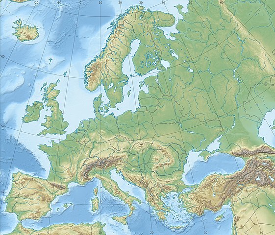
Deutsch: Physische Positionskarte Europa; Flächentreue Azimutalprojektion
English: Physical location map Europe; Lambert azimuthal equal-area projection
|
| Date | |
| Soorce |
Ain wirk
|
| Author | Alexrk2 |
| Other versions |
Derivative works of this file:
[]
|


.svg)


_ru.svg)

|
This map has been made or improved in the German Kartenwerkstatt (Map Lab). You can propose maps to improve as well.
|
Licensin
I, the copyright holder of this work, hereby publish it under the following license:
This file is licensed unner the Creative Commons Attribution-Share Alike 3.0 Unported license.
- Ye are free:
- tae share – tae copy, distribute an transmit the wirk
- tae remix – tae adapt the wirk
- Unner the follaein condeetions:
- attribution – Ye must attribute the wirk in the manner specified bi the author or licensor (but nae in ony way that suggests that thay endorse ye or yer uise o the wirk).
- share alik – If ye alter, transform, or big upon this wirk, ye mey distribute the resultin wirk anly unner the same or seemilar license tae this ane.
File history
Clap oan ae date/time fer tae see the file aes it kithed at that time.
| Date/Time | Thummnail | Dimensions | Uiser | Comment | |
|---|---|---|---|---|---|
| current | 22:29, 4 Julie 2018 | | 1,580 × 1,351 (1.1 MB) | Subtropical-man | Reverted to version as of 22:56, 20 August 2012 (UTC) |
| 17:54, 2 Julie 2018 |  | 1,580 × 1,351 (821 KB) | 1970gemini | fiat lux | |
| 22:56, 20 August 2012 |  | 1,580 × 1,351 (1.1 MB) | McZusatz | Reverted to version as of 10:53, 14 March 2010 (...thumb fixed?) | |
| 22:55, 20 August 2012 |  | 120 × 103 (4 KB) | McZusatz | fixing thumb... | |
| 10:53, 14 Mairch 2010 |  | 1,580 × 1,351 (1.1 MB) | Alexrk2 | == Summary == {{Information |Description= {{de|Physische Positionskarte Europa; Flächentreue Azimutalprojektion}} {{en|Physical location map Europe; Lambert azimuthal equal-area projection}} * Projection: LAEA Europe, [http: |
Eimage airtins
The follaein pages airts tae this image:
Global file uisage
The follaein ither wikis uise this file:
- Uisage on ab.wikipedia.org
- Uisage on als.wikipedia.org
- Uisage on ar.wikipedia.org
- Uisage on arz.wikipedia.org
- Uisage on ast.wikipedia.org
- Uisage on av.wikipedia.org
- Uisage on azb.wikipedia.org
- Uisage on az.wikipedia.org
View mair global usage o this file.