File:Czech Republic location map.svg

Size of this PNG preview of this SVG file: 800 × 487 pixels. Ither resolutions: 320 × 195 pixels | 640 × 389 pixels | 1,024 × 623 pixels | 1,280 × 779 pixels | 2,560 × 1,558 pixels | 1,004 × 611 pixels.
Oreeginal file (SVG file, nominallie 1,004 × 611 pixels, file size: 152 KB)
Ootline
| Descreeption |
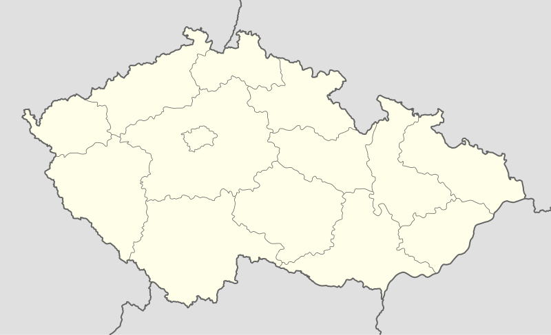
Deutsch: Positionskarte von Tschechien
Quadratische Plattkarte, N-S-Streckung 150 %. Geographische Begrenzung der Karte:
English: Location map of the Czech Republic
Equirectangular projection, N/S stretching 150 %. Geographic limits of the map:
|
| Date | |
| Soorce | own work, using United States National Imagery and Mapping Agency data |
| Author | Lencer |

|
This map has been made or improved in the German Kartenwerkstatt (Map Lab). You can propose maps to improve as well.
|
Licensin
I, the copyright holder of this work, hereby publish it under the following licenses:

|
Permission is grantit tae copy, distribute an/or modify this document unner the terms o the GNU Free Documentation License, Version 1.2 or ony later version published bi the Free Software Foundation; wi no Invariant Sections, no Front-Cover Texts, an no Back-Cover Texts. A copy o the license is includit in the section enteetled GNU Free Documentation License. |
This file is licensed unner the Creative Commons Attribution-Share Alike 3.0 Unported license.
- Ye are free:
- tae share – tae copy, distribute an transmit the wirk
- tae remix – tae adapt the wirk
- Unner the follaein condeetions:
- attribution – Ye must attribute the wirk in the manner specified bi the author or licensor (but nae in ony way that suggests that thay endorse ye or yer uise o the wirk).
- share alik – If ye alter, transform, or big upon this wirk, ye mey distribute the resultin wirk anly unner the same or seemilar license tae this ane.
Ye mey select the license o yer choice.
File history
Clap oan ae date/time fer tae see the file aes it kithed at that time.
| Date/Time | Thummnail | Dimensions | Uiser | Comment | |
|---|---|---|---|---|---|
| current | 12:30, 2 October 2012 | | 1,004 × 611 (152 KB) | Palosirkka | Reverted to version as of 20:07, 22 July 2009 Location maps must remain very accurate |
| 11:47, 2 October 2012 |  | 1,005 × 611 (72 KB) | Palosirkka | Scrubbed with http://codedread.com/scour/ | |
| 20:07, 22 Julie 2009 |  | 1,004 × 611 (152 KB) | Egg | Removed unnecessary XML elements. | |
| 18:53, 5 September 2008 |  | 1,004 × 611 (155 KB) | Lencer | {{Information |Description= |Source= |Date= |Author= |Permission= |other_versions= }} | |
| 12:16, 16 August 2008 |  | 1,004 × 611 (157 KB) | Lencer | {{Information |Description= |Source= |Date= |Author= |Permission= |other_versions= }} | |
| 08:10, 24 Julie 2008 |  | 596 × 362 (151 KB) | NordNordWest | {{Information |Description= {{de|Positionskarte von Tschechien}} Quadratische Plattkarte, N-S-Streckung 150 %. Geographische Begrenzung der Karte: * N: 51.3° N * S: 48.3° N * W: 11.8° O * O: 19.2° O {{en|Location map of the |
Eimage airtins
The follaein pages airts tae this image:
Global file uisage
The follaein ither wikis uise this file:
- Uisage on arz.wikipedia.org
- Uisage on bg.wikipedia.org
- Uisage on bn.wikipedia.org
- Uisage on bs.wikipedia.org
- Uisage on ckb.wikipedia.org
- Uisage on cs.wikipedia.org
- 1. česká fotbalová liga
- Česká hokejová extraliga 1999/2000
- Česká hokejová extraliga 2000/2001
- Česká hokejová extraliga 2001/2002
- Česká hokejová extraliga 2002/2003
- Česká hokejová extraliga 2003/2004
- Česká hokejová extraliga 2004/2005
- Česká hokejová extraliga 2005/2006
- Česká hokejová extraliga 2006/2007
- Česká hokejová extraliga 2007/2008
- 2. česká hokejová liga 1994/1995
- 2. česká hokejová liga 1993/1994
- 2. česká hokejová liga 1995/1996
- 2. česká hokejová liga 1996/1997
- 2. česká hokejová liga 1997/1998
- 2. česká hokejová liga 1998/1999
- 2. česká hokejová liga 1999/2000
- 2. česká hokejová liga 2000/2001
- 2. česká hokejová liga 2001/2002
- Česká hokejová extraliga 2008/2009
- Česká hokejová extraliga 2009/2010
- Česká hokejová extraliga 2010/2011
- 2. česká hokejová liga 2011/2012
- 1. česká hokejová liga 2011/2012
- Česká hokejová extraliga 2011/2012
- Česká hokejová extraliga 2012/2013
- 1. česká hokejová liga 2012/2013
- Česká fotbalová liga 2012/2013
- 2. česká hokejová liga 2012/2013
- Extraliga hokejbalu 2012/2013
- 1. česká hokejová liga 2013/2014
- Česká hokejová extraliga 2013/2014
- Juniorská liga 2012/2013
- Juniorská liga 2013/2014
- 2. česká hokejová liga 2013/2014
- Česká fotbalová liga 2013/2014
- Wikipedie:Mediagrant/Události/Cíle
- CCM extraliga inline hokeje 2014
- Extraliga hokejbalu 2013/2014
View mair global usage o this file.