File:Chiba-ken géolocalisation.svg

Size of this PNG preview of this SVG file: 576 × 599 pixels. Ither resolutions: 231 × 240 pixels | 461 × 480 pixels | 738 × 768 pixels | 984 × 1,024 pixels | 1,968 × 2,048 pixels | 1,720 × 1,790 pixels.
Oreeginal file (SVG file, nominallie 1,720 × 1,790 pixels, file size: 2.17 MB)
Ootline
| Camera location | | View this and other nearby images on: OpenStreetMap |
|---|
| Descreeption |
Deutsch: Karte der Präfektur Chiba.
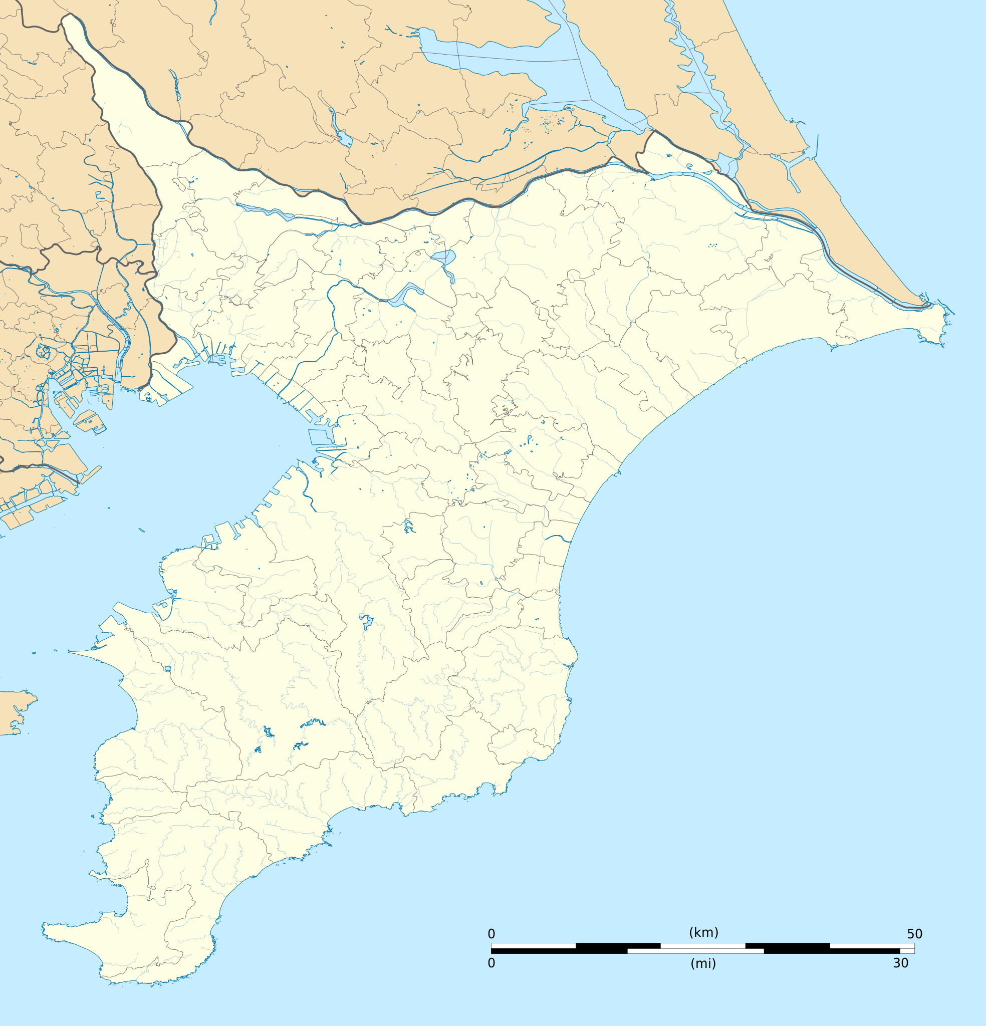
English: Blank map of the Chiba Prefecture, for geolocalisation purpose.
Español: Mapa de la Prefectura de Chiba.
Italiano: Mappa della Prefettura di Chiba.
日本語: 千葉県の地図.
Bahasa Melayu: Peta kosong Wilayah Chiba, untuk tujuan geolokalisasi.
Português: Carta de la província de Chiba.
|
||
| Date | (UTC) | ||
| Soorce |
Création personnelle ;
|
||
| Author | © Bourrichon (talk) - fr:Bourrichon | ||
| Permission (Reuisin this file) |
|
||
| Other versions | File:Chiba-ken géolocalisation relief.svg |
This W3C-unspecified vector image was created with Inkscape .
Licensin
I, the copyright holder of this work, hereby publish it under the following license:
This file is licensed under the Creative Commons Attribution-Share Alike 2.0 France license.
Attribution: Bourrichon (atelier graphique)
- Ye are free:
- tae share – tae copy, distribute an transmit the wirk
- tae remix – tae adapt the wirk
- Unner the follaein condeetions:
- attribution – Ye must attribute the wirk in the manner specified bi the author or licensor (but nae in ony way that suggests that thay endorse ye or yer uise o the wirk).
- share alik – If ye alter, transform, or big upon this wirk, ye mey distribute the resultin wirk anly unner the same or seemilar license tae this ane.

File history
Clap oan ae date/time fer tae see the file aes it kithed at that time.
| Date/Time | Thummnail | Dimensions | Uiser | Comment | |
|---|---|---|---|---|---|
| current | 15:55, 10 Julie 2013 | | 1,720 × 1,790 (2.17 MB) | Bourrichon | == {{int:filedesc}} == {{Location|35|00|00|N|140|00|00|E|scale:10000}} {{Information |Description= {{fr|Carte vierge de la fr:Préfecture de Chiba, au Japon, destinée à la géolocalisation.}} {{de|Karte der [[:de:Präfektur Chib... |
Eimage airtins
The follaein pages airts tae this image:
Global file uisage
The follaein ither wikis uise this file:
- Uisage on ar.wikipedia.org
- Uisage on ceb.wikipedia.org
- Uisage on de.wikipedia.org
- Uisage on en.wikipedia.org
- Kashiwa
- Chiba University
- Katori Station
- Chōshi Station
- Narita Station
- Keisei Narita Station
- Higashi-Narita Station
- Narita Airport Terminal 2·3 Station
- Narita Airport Terminal 1 Station
- Shibayama-Chiyoda Station
- Kōzunomori Station
- Chiba Station
- Wadaura Station
- Hon-Chiba Station
- Matsudo Station
- Kashiwa Station
- Soga Station
- Hamano Station
- Yawatajuku Station
- Goi Station
- Anegasaki Station
- Tsudanuma
- Kita-Matsudo Station
- Mabashi Station
- Shim-Matsudo Station
- Kita-Kogane Station
- Minami-Kashiwa Station
- Kita-Kashiwa Station
- Abiko Station (Chiba)
- Tennōdai Station
- Hatsutomi Station
- Kunugiyama Station
- Urayasu Station (Chiba)
- Minami-Gyōtoku Station
- Gyōtoku Station
- Myōden Station
- Baraki-nakayama Station
- Kōnodai Station
- Ichikawamama Station
- Sugano Station
- Keisei Yawata Station
- Onigoe Station
- Keisei Nakayama Station
- Higashi-Nakayama Station
View mair global usage o this file.