File:Canarias-loc.svg

Size of this PNG preview of this SVG file: 512 × 277 pixels. Ither resolutions: 320 × 173 pixels | 640 × 346 pixels | 1,024 × 554 pixels | 1,280 × 693 pixels | 2,560 × 1,385 pixels.
Oreeginal file (SVG file, nominallie 512 × 277 pixels, file size: 3.09 MB)
Ootline
This locator map was created with Inkscape.
| Descreeption |
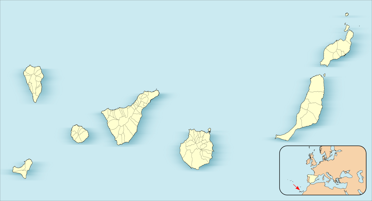
English: Location map of Canary Islands
Equirectangular projection, N/S stretching 130 %. Geographic limits of the map:
Español: Mapa de localización de las Islas Canarias
Proyección equirrectangular (cilíndrica equidistante), N/S estirada 130 %. Límites geográficos del mapa:
|
| Date | |
| Soorce | Own work based on: EspañaLoc.svg by HansenBCN |
| Author | Miguillen |
|
This map has been made or improved in the Spanish Taller de Cartografía (Map Lab). You can propose maps to improve as well.
|
Licensin
Miguillen, the copyright holder of this work, hereby publishes it under the following license:
This file is licensed unner the Creative Commons Attribution-Share Alike 3.0 Unported license.
Attribution: Miguillen
- Ye are free:
- tae share – tae copy, distribute an transmit the wirk
- tae remix – tae adapt the wirk
- Unner the follaein condeetions:
- attribution – Ye must attribute the wirk in the manner specified bi the author or licensor (but nae in ony way that suggests that thay endorse ye or yer uise o the wirk).
- share alik – If ye alter, transform, or big upon this wirk, ye mey distribute the resultin wirk anly unner the same or seemilar license tae this ane.
File history
Clap oan ae date/time fer tae see the file aes it kithed at that time.
| Date/Time | Thummnail | Dimensions | Uiser | Comment | |
|---|---|---|---|---|---|
| current | 17:27, 3 Juin 2012 | | 512 × 277 (3.09 MB) | Miguillen | |
| 16:26, 3 Juin 2012 |  | 512 × 264 (3.1 MB) | Miguillen | ||
| 15:58, 3 Juin 2012 |  | 512 × 264 (3.1 MB) | Miguillen | actualizo | |
| 15:39, 21 November 2010 |  | 512 × 290 (130 KB) | Miguillen | Estiro un 130% | |
| 17:40, 18 November 2010 |  | 512 × 223 (76 KB) | Miguillen | amplio área | |
| 17:39, 18 November 2010 | 512 × 192 (83 KB) | Miguillen | == {{int:filedesc}} == {{Information |Description={{en|Location map of Canary Island}} Equirectangular projection, N/S stretching 130 %. Geographic limits of the map: * N: ° N * S: ° N * W: ° O * E: ° O {{es|Mapa de localiza |
Eimage airtins
The follaein pages airts tae this image:
Global file uisage
The follaein ither wikis uise this file:
- Uisage on an.wikipedia.org
- Las Palmas de Gran Canaria
- Santa Cruz de Tenerife
- San Cristóbal de La Laguna
- Valverde (El Hierro)
- Gran Canaria Arena
- Pabillón Insular Santiago Martín
- Granadilla de Abona
- Plantilla:Mapa de localización Islas Canarias
- Adeje
- Agulo
- Arafo
- Arona
- Candelaria (Tenerife)
- Barlovento (Santa Cruz de Tenerife)
- Breña Alta
- Breña Baja
- El Paso
- Santa Cruz de La Palma
- San Sebastián de la Gomera
- Alajeró
- Arico
- Buenavista del Norte
- Fuencaliente de la Palma
- Icod de los Vinos
- La Orotava
- Puerto de la Cruz
- Tazacorte
- Tijarafe
- La Matanza de Acentejo
- La Victoria de Acentejo
- Santiago del Teide
- El Sauzal
- Tacoronte
- El Tanque
- Tegueste
- Valle Gran Rey
- Villa de Mazo
- Fasnia
- Garachico
- Los Llanos de Aridane
- Puntallana
- La Frontera (El Hierro)
- Garafía
- La Guancha
- Guía de Isora
- Güímar
- Hermigua
- El Pinar de El Hierro
- Puntagorda
- Los Realejos
View mair global usage o this file.