File:Bourgogne-Franche-Comté region location map.svg

Size of this PNG preview of this SVG file: 785 × 599 pixels. Ither resolutions: 314 × 240 pixels | 629 × 480 pixels | 1,006 × 768 pixels | 1,280 × 978 pixels | 2,560 × 1,955 pixels | 1,024 × 782 pixels.
Oreeginal file (SVG file, nominallie 1,024 × 782 pixels, file size: 3.9 MB)
Ootline
| Descreeption |
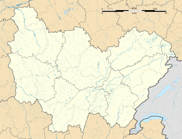
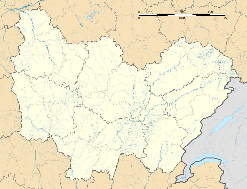
Français : Carte administrative vierge de la région Bourgogne-Franche-Comté, France, destinée à la géolocalisation. Projection "Géoportail" (projection équirectangulaire à la latitude de référence 46.5° Nord)
|
| Date | |
| Soorce |
Ain wirk
|
| Author | Flappiefh |
| Other versions |
|

Licensin
I, the copyright holder of this work, hereby publish it under the following license:
This file is licensed under the Creative Commons Attribution-Share Alike 4.0 International license.
- Ye are free:
- tae share – tae copy, distribute an transmit the wirk
- tae remix – tae adapt the wirk
- Unner the follaein condeetions:
- attribution – Ye must attribute the wirk in the manner specified bi the author or licensor (but nae in ony way that suggests that thay endorse ye or yer uise o the wirk).
- share alik – If ye alter, transform, or big upon this wirk, ye mey distribute the resultin wirk anly unner the same or seemilar license tae this ane.
File history
Clap oan ae date/time fer tae see the file aes it kithed at that time.
| Date/Time | Thummnail | Dimensions | Uiser | Comment | |
|---|---|---|---|---|---|
| current | 07:31, 19 September 2015 | | 1,024 × 782 (3.9 MB) | Flappiefh | User created page with UploadWizard |
Eimage airtins
The follaein pages airts tae this image:
- Avallon
- Beaulieu, Nièvre
- Besançon
- Chalon-sur-Saône
- Charny, Côte-d'Or
- Charny, Yonne
- Charny-Orée-de-Puisaye
- Dammartin-Marpain
- Dammartin-les-Templiers
- Dompierre-sur-Héry
- La Celle-en-Morvan
- Michaugues
- Mâcon
- Prunoy
- Roilly
- Saint-Denis-sur-Ouanne
- Saint-Gilles, Saône-et-Loire
- Saint-Jean-de-Trézy
- Saint-Vit
- Sens
- Thorey-sous-Charny
- Villefranche, Yonne
- Vitry-sur-Loire
Global file uisage
The follaein ither wikis uise this file:
- Uisage on als.wikipedia.org
- Uisage on bg.wikipedia.org
- Uisage on bn.wikipedia.org
- Uisage on de.wikipedia.org
- Stade de l’Abbé-Deschamps
- Wikipedia:Kartenwerkstatt/Positionskarten/Europa
- Stade Auguste-Bonal
- Stade Gaston Gérard
- Stade Léo-Lagrange (Besançon)
- Flughafen Dijon-Bourgogne
- Flughafen Dole-Jura
- Militärflugplatz Luxeuil-Saint Sauveur
- Vorlage:Positionskarte Frankreich Bourgogne-Franche-Comté
- Flugplatz Auxerre-Branches
- Aquäduktbrücke über die Yonne
- Pont d’Arbois
- Uisage on en.wikipedia.org
- Cluny
- Besançon
- Dijon
- Luxeuil-les-Bains
- Chapaize
- Montbéliard
- Nevers
- Belfort
- Arbois
- Beaune
- Montbard
- Dole, Jura
- Autun
- Auxerre
- Roche-et-Raucourt
- Flavigny-sur-Ozerain
- Auxonne
- Chalon-sur-Saône
- Vellescot
- Mâcon
- Taizé, Saône-et-Loire
- Vesoul
- Paray-le-Monial
- Pontarlier
- Theil-sur-Vanne
- Thury, Yonne
- Avallon
- Étueffont
- Châtillon-sur-Seine
- Saint-Vincent-en-Bresse
- Sens
- Recey-sur-Ource
- Fain-lès-Moutiers
- Sochaux
View mair global usage o this file.