File:Botswana location map.svg

Size of this PNG preview of this SVG file: 577 × 600 pixels. Ither resolutions: 231 × 240 pixels | 462 × 480 pixels | 739 × 768 pixels | 986 × 1,024 pixels | 1,971 × 2,048 pixels | 974 × 1,012 pixels.
Oreeginal file (SVG file, nominallie 974 × 1,012 pixels, file size: 314 KB)
Ootline
| Descreeption |
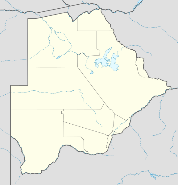
Deutsch: Positionskarte von Botsuana
Quadratische Plattkarte, N-S-Streckung 105 %. Geographische Begrenzung der Karte:
English: Location map of Botswana
Equirectangular projection, N/S stretching 105 %. Geographic limits of the map:
|
||
| Date | |||
| Soorce |
own work, using
|
||
| Author | NordNordWest | ||
| SVG genesis |
|

Licensin
I, the copyright holder of this work, hereby publish it under the following licenses:

|
Permission is grantit tae copy, distribute an/or modify this document unner the terms o the GNU Free Documentation License, Version 1.2 or ony later version published bi the Free Software Foundation; wi no Invariant Sections, no Front-Cover Texts, an no Back-Cover Texts. A copy o the license is includit in the section enteetled GNU Free Documentation License. |
This file is licensed unner the Creative Commons Attribution-Share Alike 3.0 Unported license.
- Ye are free:
- tae share – tae copy, distribute an transmit the wirk
- tae remix – tae adapt the wirk
- Unner the follaein condeetions:
- attribution – Ye must attribute the wirk in the manner specified bi the author or licensor (but nae in ony way that suggests that thay endorse ye or yer uise o the wirk).
- share alik – If ye alter, transform, or big upon this wirk, ye mey distribute the resultin wirk anly unner the same or seemilar license tae this ane.
Ye mey select the license o yer choice.
File history
Clap oan ae date/time fer tae see the file aes it kithed at that time.
| Date/Time | Thummnail | Dimensions | Uiser | Comment | |
|---|---|---|---|---|---|
| current | 10:07, 21 December 2014 | | 974 × 1,012 (314 KB) | Ravenpuff | Chobe District |
| 20:37, 11 November 2009 |  | 974 × 1,012 (313 KB) | NordNordWest | ||
| 17:48, 13 August 2008 |  | 975 × 1,012 (222 KB) | NordNordWest | {{Information |Description= {{de|Positionskarte von Botsuana}} Quadratische Plattkarte, N-S-Streckung 105 %. Geographische Begrenzung der Karte: * N: 17.3° S * S: 27.5° S * W: 19.4° O * O: 29.7° O {{en|Location map of [[:en:Botswana|B |
Eimage airtins
The follaein pages airts tae this image:
Global file uisage
The follaein ither wikis uise this file:
- Uisage on af.wikipedia.org
- Maun
- Lobatse
- Francistown
- Ghanzi
- Kasane
- Mochudi
- Palapye
- Kanye
- Mahalapye
- Serowe
- Molepolole
- Tshabong
- Ramotswa
- Kalkfontein
- Selebi-Phikwe
- Gumare
- Masunga
- Tlokweng
- Jwaneng
- Bobonong
- Moshupa
- Orapa
- Thamaga
- Kang
- Sikwane
- Sowa, Botswana
- Zutswa
- Werda, Botswana
- Struizendam
- Tshane
- Vaalhoek
- Middelputs
- Bokspits
- Khuis
- Rapplespan
- Sir Seretse Khama Internasionale Lughawe
- Tuli-blok
- Makopong
- D'Kar
- Kasane Lughawe
- Francistown-lughawe
- Uisage on am.wikipedia.org
- Uisage on ar.wikipedia.org
- Uisage on arz.wikipedia.org
- Uisage on ast.wikipedia.org
View mair global usage o this file.