File:Berkshire UK location map.svg

Size of this PNG preview of this SVG file: 800 × 416 pixels. Ither resolutions: 320 × 166 pixels | 640 × 333 pixels | 1,024 × 532 pixels | 1,280 × 666 pixels | 2,560 × 1,331 pixels | 1,425 × 741 pixels.
Oreeginal file (SVG file, nominallie 1,425 × 741 pixels, file size: 1.51 MB)
| Descreeption |
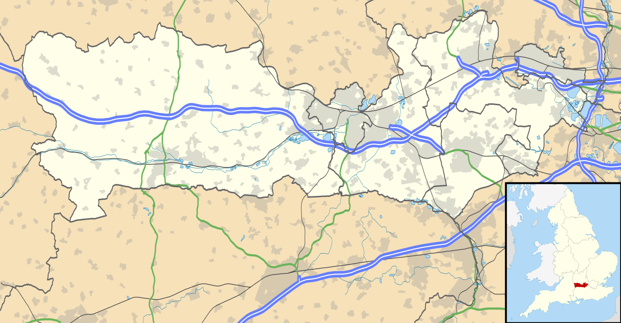
Map of Berkshire, UK with the following information shown:
Equirectangular map projection on WGS 84 datum, with N/S stretched 160% Geographic limits:
|
| Date | |
| Soorce |
|
| Author | Nilfanion, created using Ordnance Survey data |
| Permission (Reuisin this file) |
This file is licensed unner the Creative Commons Attribution-Share Alike 3.0 Unported license. Attribution: Contains Ordnance Survey data © Crown copyright and database right
|
| Other versions | File:Berkshire UK district map (blank).svg - Blank map |
.svg)
File history
Clap oan ae date/time fer tae see the file aes it kithed at that time.
| Date/Time | Thummnail | Dimensions | Uiser | Comment | |
|---|---|---|---|---|---|
| current | 17:56, 26 September 2010 | | 1,425 × 741 (1.51 MB) | Nilfanion | {{Information |Description=Map of Berkshire, UK with the following information shown: *Administrative borders *Coastline, lakes and rivers *Roads and railways *Urban areas Equirectangular map projection on WGS 84 datum, with N/S stretched |
Eimage airtins
The follaein pages airts tae this image:
Global file uisage
The follaein ither wikis uise this file:
- Uisage on ar.wikipedia.org
- Uisage on azb.wikipedia.org
- Uisage on bg.wikipedia.org
- Uisage on bn.wikipedia.org
- Uisage on ceb.wikipedia.org
- Uisage on en.wikipedia.org
- Slough
- Newbury, Berkshire
- Britwell
- Chalvey
- Colnbrook
- Langley, Berkshire
- Upton, Slough
- Speen, Berkshire
- Maidenhead
- Sandhurst, Berkshire
- Bracknell
- Wraysbury
- Datchet
- Hungerford
- Windsor, Berkshire
- Caversham, Reading
- Frogmore
- Eton, Berkshire
- Ditton, Slough
- Horton, Berkshire
- Sunningdale
- Earley
- Hurley, Berkshire
View mair global usage o this file.