File:Belize location map.svg

Size of this PNG preview of this SVG file: 432 × 599 pixels. Ither resolutions: 173 × 240 pixels | 346 × 480 pixels | 554 × 768 pixels | 739 × 1,024 pixels | 1,478 × 2,048 pixels | 788 × 1,092 pixels.
Oreeginal file (SVG file, nominallie 788 × 1,092 pixels, file size: 106 KB)
Ootline
| Descreeption |
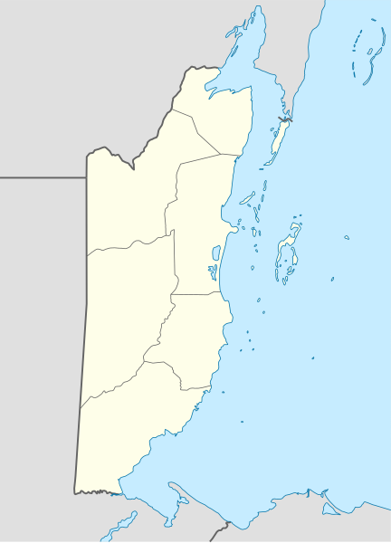
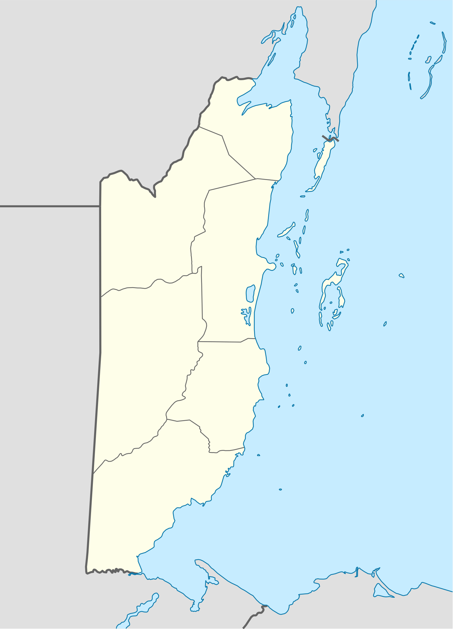
Deutsch: Positionskarte von Belize
Quadratische Plattkarte, N-S-Streckung 105 %. Geographische Begrenzung der Karte:
English: Location map of Belize
|
||||||||||||
| Date | |||||||||||||
| Soorce | Own work using: United States National Imagery and Mapping Agency data | ||||||||||||
| Author | NordNordWest | ||||||||||||
| SVG genesis |
|
||||||||||||

Licensin
NordNordWest, the copyright holder of this work, hereby publishes it under the following licenses:

|
Permission is grantit tae copy, distribute an/or modify this document unner the terms o the GNU Free Documentation License, Version 1.2 or ony later version published bi the Free Software Foundation; wi no Invariant Sections, no Front-Cover Texts, an no Back-Cover Texts. A copy o the license is includit in the section enteetled GNU Free Documentation License. |
This file is licensed unner the Creative Commons Attribution-Share Alike 3.0 Unported license.
Attribution: NordNordWest
- Ye are free:
- tae share – tae copy, distribute an transmit the wirk
- tae remix – tae adapt the wirk
- Unner the follaein condeetions:
- attribution – Ye must attribute the wirk in the manner specified bi the author or licensor (but nae in ony way that suggests that thay endorse ye or yer uise o the wirk).
- share alik – If ye alter, transform, or big upon this wirk, ye mey distribute the resultin wirk anly unner the same or seemilar license tae this ane.
Ye mey select the license o yer choice.
File history
Clap oan ae date/time fer tae see the file aes it kithed at that time.
| Date/Time | Thummnail | Dimensions | Uiser | Comment | |
|---|---|---|---|---|---|
| current | 07:15, 10 December 2016 | | 788 × 1,092 (106 KB) | Kaldari | Fixing Cayo District border per http://www.elections.gov.bz/modules/wfdownloads/visit.php?cid=109&lid=213 |
| 19:37, 4 September 2008 |  | 788 × 1,092 (106 KB) | NordNordWest | size correction | |
| 19:34, 4 September 2008 |  | 630 × 874 (106 KB) | NordNordWest | {{Information |Description= {{de|Positionskarte von Belize}} Quadratische Plattkarte, N-S-Streckung 105 %. Geographische Begrenzung der Karte: * N: 18.9° N * S: 15.6° N * W: 89.7° W * O: 87.2° W {{en|Location map of [[:en:Belize|Belize] |
Eimage airtins
The follaein pages airts tae this image:
Global file uisage
The follaein ither wikis uise this file:
- Uisage on af.wikipedia.org
- Uisage on an.wikipedia.org
- Uisage on ar.wikipedia.org
- Uisage on ast.wikipedia.org
- Ciudá de Belize
- Belmopán
- Gran furacu azul
- Módulu:Mapa de llocalización/datos/Belize
- Módulu:Mapa de llocalización/datos/Belize/usu
- Aeropuertu de Corozal
- Aeropuertu de Dangriga
- Aeropuertu de Placencia
- Aeropuertu de Punta Gorda
- Aeropuertu de San Pedro
- Pista d'Aterrizaxe Héctor Silva
- Puertu de Belize
- Puertu de Big Creek
- Uisage on az.wikipedia.org
- Uisage on ba.wikipedia.org
- Uisage on be-tarask.wikipedia.org
- Uisage on be.wikipedia.org
- Uisage on bg.wikipedia.org
- Uisage on bn.wikipedia.org
- Uisage on bs.wikipedia.org
- Uisage on ceb.wikipedia.org
View mair global usage o this file.