File:Balıklıgöl Urfa2.jpg
Size o this luikower: 800 × 600 pixels. Ither resolutions: 320 × 240 pixels | 640 × 480 pixels | 1,024 × 768 pixels | 1,280 × 960 pixels | 2,592 × 1,944 pixels.
Oreeginal file (2,592 × 1,944 pixels, file size: 2.24 MB, MIME type: image/jpeg)
Ootline
| Descreeption |
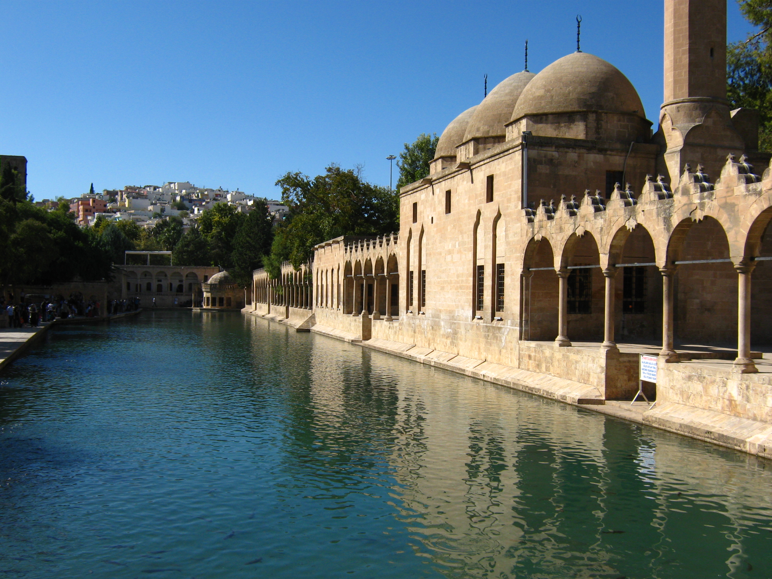
Türkçe: Balıklıgöl ve Rızvaniye Camii English: pond of the sacred fishes and Rızvaniye Mosque Deutsch: Karpfenteich und Rızvaniye-Moschee |
| Date | |
| Soorce | Ain wirk |
| Author | Anadolu |
| Camera location | | View this and other nearby images on: OpenStreetMap |
|---|
Licensin
I, the copyright holder of this work, hereby publish it under the following license:
This file is licensed unner the Creative Commons Attribution-Share Alike 3.0 Unported license.
- Ye are free:
- tae share – tae copy, distribute an transmit the wirk
- tae remix – tae adapt the wirk
- Unner the follaein condeetions:
- attribution – Ye must attribute the wirk in the manner specified bi the author or licensor (but nae in ony way that suggests that thay endorse ye or yer uise o the wirk).
- share alik – If ye alter, transform, or big upon this wirk, ye mey distribute the resultin wirk anly unner the same or seemilar license tae this ane.
File history
Clap oan ae date/time fer tae see the file aes it kithed at that time.
| Date/Time | Thummnail | Dimensions | Uiser | Comment | |
|---|---|---|---|---|---|
| current | 14:51, 3 Februar 2013 | | 2,592 × 1,944 (2.24 MB) | Anadolu | User created page with UploadWizard |
Eimage airtins
The follaein pages airts tae this image:
Global file uisage
The follaein ither wikis uise this file:
- Uisage on ar.wikipedia.org
- Uisage on az.wikipedia.org
- Uisage on bs.wikipedia.org
- Uisage on de.wikipedia.org
- Uisage on de.wikivoyage.org
- Uisage on el.wikipedia.org
- Uisage on en.wikipedia.org
- Uisage on en.wikivoyage.org
- Uisage on hu.wikipedia.org
- Uisage on id.wikipedia.org
- Uisage on no.wikipedia.org
- Uisage on pnb.wikipedia.org
- Uisage on ps.wikipedia.org
- Uisage on pt.wikipedia.org
- Uisage on tr.wikipedia.org
- Uisage on ur.wikipedia.org
- Uisage on uz.wikipedia.org
- Uisage on www.wikidata.org