File:Bahamas location map.svg

Size of this PNG preview of this SVG file: 800 × 577 pixels. Ither resolutions: 320 × 231 pixels | 640 × 461 pixels | 1,024 × 738 pixels | 1,280 × 923 pixels | 2,560 × 1,846 pixels | 1,559 × 1,124 pixels.
Oreeginal file (SVG file, nominallie 1,559 × 1,124 pixels, file size: 383 KB)
Ootline

|
This map has been made or improved in the German Kartenwerkstatt (Map Lab). You can propose maps to improve as well.
|
Licensin
I, the copyright holder of this work, hereby publish it under the following licenses:

|
Permission is grantit tae copy, distribute an/or modify this document unner the terms o the GNU Free Documentation License, Version 1.2 or ony later version published bi the Free Software Foundation; wi no Invariant Sections, no Front-Cover Texts, an no Back-Cover Texts. A copy o the license is includit in the section enteetled GNU Free Documentation License. |
This file is licensed unner the Creative Commons Attribution-Share Alike 3.0 Unported license.
- Ye are free:
- tae share – tae copy, distribute an transmit the wirk
- tae remix – tae adapt the wirk
- Unner the follaein condeetions:
- attribution – Ye must attribute the wirk in the manner specified bi the author or licensor (but nae in ony way that suggests that thay endorse ye or yer uise o the wirk).
- share alik – If ye alter, transform, or big upon this wirk, ye mey distribute the resultin wirk anly unner the same or seemilar license tae this ane.
Ye mey select the license o yer choice.
File history
Clap oan ae date/time fer tae see the file aes it kithed at that time.
| Date/Time | Thummnail | Dimensions | Uiser | Comment | |
|---|---|---|---|---|---|
| current | 17:31, 15 Apryle 2011 | | 1,559 × 1,124 (383 KB) | NordNordWest | upd |
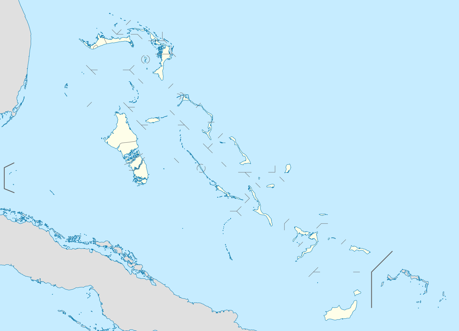
| 19:17, 23 October 2008 |  | 1,560 × 1,125 (549 KB) | NordNordWest | {{Information |Description= {{de|Positionskarte der Bahamas}} Quadratische Plattkarte, N-S-Streckung 105 %. Geographische Begrenzung der Karte: * N: 27.5° N * S: 20.7° N * W: 80.7° W * O: 70.8° W {{en|Location map of [[:en:The Bahamas| |
Eimage airtins
The follaein pages airts tae this image:
Global file uisage
The follaein ither wikis uise this file:
- Uisage on af.wikipedia.org
- Uisage on als.wikipedia.org
- Uisage on an.wikipedia.org
- Uisage on ar.wikipedia.org
- Uisage on ast.wikipedia.org
- Uisage on az.wikipedia.org
- Uisage on ba.wikipedia.org
- Uisage on be.wikipedia.org
- Uisage on bg.wikipedia.org
- Uisage on bn.wikipedia.org
- Uisage on bs.wikipedia.org
- Uisage on ceb.wikipedia.org
- Bahamas
- Plantilya:Location map Bahamas
- White Cliff
- South Point
- Pelican Point
- Palmetto Point
- Old Fort Point
- Long Island
- Long Bay
- Lobster Island
- James Point
- Hog Point
- High Point
- Goat Island
- Middle Ground
- North Point
- Castle Rock
- West Point
- West Cay
- Sandy Point
- Long Rock
- Little Island
- Black Point
- San Salvador
- North Beach
- Bell Island
View mair global usage o this file.