File:Austria Burgenland location map.svg

Size of this PNG preview of this SVG file: 378 × 599 pixels. Ither resolutions: 151 × 240 pixels | 303 × 480 pixels | 484 × 768 pixels | 646 × 1,024 pixels | 1,291 × 2,048 pixels | 975 × 1,546 pixels.
Oreeginal file (SVG file, nominallie 975 × 1,546 pixels, file size: 248 KB)
Ootline
| Descreeption |
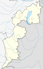
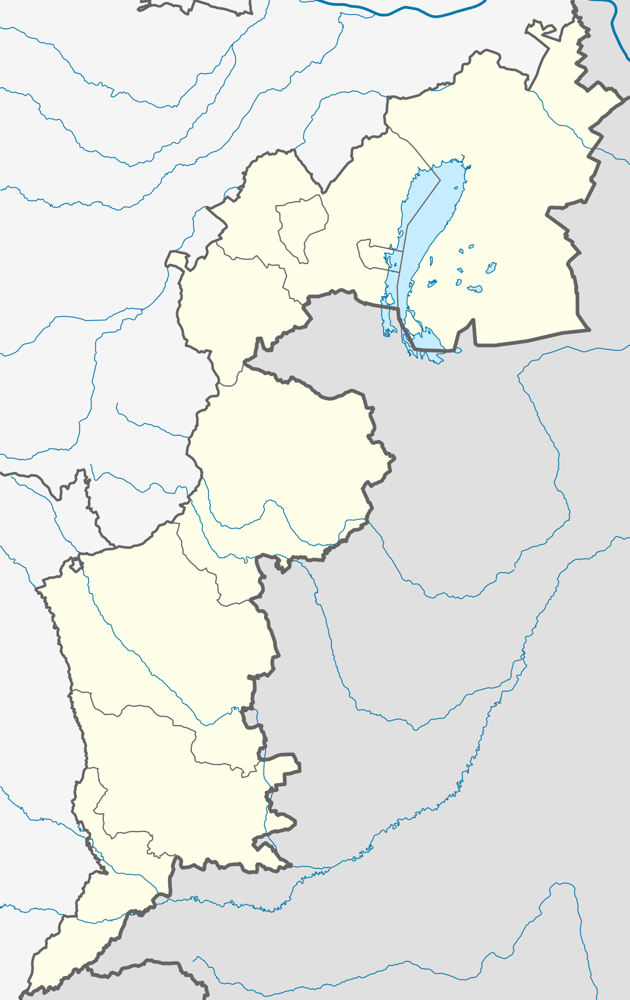
Deutsch: Positionskarte des Burgenlands
Quadratische Plattkarte. Geographische Begrenzung der Karte:
English: Location map of Burgenland
Equirectangular projection. Geographic limits of the map:
|
| Soorce |
Own work, based on maps-for-free.com and File:Karte Aut Bgld MA.png This W3C-unspecified vector image was created with Inkscape . |
| Author | Rosso Robot |
| Other versions |
|

Licensin
I, the copyright holder of this work, hereby publish it under the following licenses:
This file is licensed unner the Creative Commons Attribution-Share Alike 3.0 Unported license.
- Ye are free:
- tae share – tae copy, distribute an transmit the wirk
- tae remix – tae adapt the wirk
- Unner the follaein condeetions:
- attribution – Ye must attribute the wirk in the manner specified bi the author or licensor (but nae in ony way that suggests that thay endorse ye or yer uise o the wirk).
- share alik – If ye alter, transform, or big upon this wirk, ye mey distribute the resultin wirk anly unner the same or seemilar license tae this ane.

|
Permission is grantit tae copy, distribute an/or modify this document unner the terms o the GNU Free Documentation License, Version 1.2 or ony later version published bi the Free Software Foundation; wi no Invariant Sections, no Front-Cover Texts, an no Back-Cover Texts. A copy o the license is includit in the section enteetled GNU Free Documentation License. |
Ye mey select the license o yer choice.
File history
Clap oan ae date/time fer tae see the file aes it kithed at that time.
| Date/Time | Thummnail | Dimensions | Uiser | Comment | |
|---|---|---|---|---|---|
| current | 20:11, 25 Februar 2012 | | 975 × 1,546 (248 KB) | NordNordWest | correct projection |
| 20:08, 25 Februar 2012 |  | 975 × 1,546 (248 KB) | NordNordWest | upd, correct projection | |
| 09:42, 27 Mey 2009 |  | 493 × 837 (87 KB) | Rosso Robot | correction in order of the template colour change of same administrative layer | |
| 14:29, 23 Mey 2009 |  | 493 × 837 (88 KB) | Rosso Robot | uploaded plain-svg not inkscape-svg | |
| 14:28, 23 Mey 2009 |  | 493 × 837 (95 KB) | Rosso Robot | earased background picture | |
| 14:25, 23 Mey 2009 |  | 493 × 837 (95 KB) | Rosso Robot | {{Information |Description={{de|1=Positionskarte von Wien Quadratische Plattkarte. Geographische Begrenzung der Karte: * N: 48.13797° N * S: 48.82685° N * W: 16.97240° O * O: 16.17266° O}} {{en|1=Location map of Vienna Equi |
Eimage airtins
The follaein pages airts tae this image:
Global file uisage
The follaein ither wikis uise this file:
- Uisage on ba.wikipedia.org
- Uisage on bg.wikipedia.org
- Uisage on cs.wikipedia.org
- Uisage on cv.wikipedia.org
- Uisage on de.wikipedia.org
- Pappelstadion
- Diskussion:Liste jüdischer Friedhöfe in Österreich
- Bärenhöhle (Winden am See)
- Wikipedia:Kartenwerkstatt/Positionskarten/Europa
- Vorlage:Positionskarte Österreich Burgenland
- Flugplatz Punitz-Güssing
- Leuchtturm Podersdorf
- Österreichische Fußballmeisterschaft 2012/13
- Windpark Andau/Halbturn
- Österreichische Fußballmeisterschaft 2013/14
- Heidebodenstadion
- St. Martins Therme & Lodge
- Österreichische Fußballmeisterschaft 2015/16
- Österreichische Fußballmeisterschaft 2016/17
- Sonnenseestadion
- Benutzer:XaviYuahanda/Profiklubs
- Österreichische Fußballmeisterschaft 2017/18
- Österreichische Fußballmeisterschaft 2018/19
- Liste der Golfplätze des Burgenlandes
- Benutzer:XaviYuahanda/201920
- Benutzer:D-Kuru/baustellen/Liste der Soldatenfriedhöfe in Österreich/Burgenland
- Österreichische Fußballmeisterschaft 2020/21
- Steppentierpark Pamhagen
- Österreichische Fußballmeisterschaft 2021/22
- Leuchtturm Breitenbrunn
- Flugplatz Pinkafeld
- Österreichische Fußballmeisterschaft 2022/23
- Österreichische Fußballmeisterschaft 2023/24
- Truppenübungsplatz Bruckneudorf
- Uisage on en.wikipedia.org
View mair global usage o this file.