File:Australia South Australia relief location map.png

Size o this luikower: 516 × 599 pixels. Ither resolutions: 207 × 240 pixels | 413 × 480 pixels | 661 × 768 pixels | 881 × 1,024 pixels | 1,812 × 2,105 pixels.
Oreeginal file (1,812 × 2,105 pixels, file size: 719 KB, MIME type: image/png)
Ootline
| Descreeption |
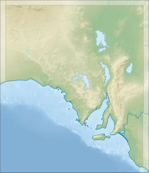
English: Location map of South Australia, Australia
Equidistant cylindrical projection, latitude of true scale 31.27° S (equivalent to equirectangular projection with N/S stretching 117 %). Geographic limits of the map:
|
| Date | |
| Soorce |
|
| Author | Tentotwo |
Licensin
I, the copyright holder of this work, hereby publish it under the following license:
This file is licensed unner the Creative Commons Attribution-Share Alike 3.0 Unported license.
- Ye are free:
- tae share – tae copy, distribute an transmit the wirk
- tae remix – tae adapt the wirk
- Unner the follaein condeetions:
- attribution – Ye must attribute the wirk in the manner specified bi the author or licensor (but nae in ony way that suggests that thay endorse ye or yer uise o the wirk).
- share alik – If ye alter, transform, or big upon this wirk, ye mey distribute the resultin wirk anly unner the same or seemilar license tae this ane.

|
This map has been made or improved in the German Kartenwerkstatt (Map Lab). You can propose maps to improve as well.
|
File history
Clap oan ae date/time fer tae see the file aes it kithed at that time.
| Date/Time | Thummnail | Dimensions | Uiser | Comment | |
|---|---|---|---|---|---|
| current | 18:30, 2 Februar 2013 | | 1,812 × 2,105 (719 KB) | Tentotwo | User created page with UploadWizard |
Eimage airtins
The follaein pages airts tae this image:
Global file uisage
The follaein ither wikis uise this file:
- Uisage on ar.wikipedia.org
- Uisage on ast.wikipedia.org
- Uisage on azb.wikipedia.org
- Uisage on ban.wikipedia.org
- Uisage on be.wikipedia.org
- Uisage on bg.wikipedia.org
- Uisage on bn.wikipedia.org
- Uisage on ceb.wikipedia.org
- Uisage on da.wikipedia.org
- Uisage on de.wikipedia.org
- Lake Eyre
- Lake Torrens
- Ikara-Flinderskette-Nationalpark
- Canunda-Nationalpark
- Flinderskette
- Olympic Dam
- Beverley (Uranmine)
- Adelaide Hills
- Ediacara-Hügel
- Anna Creek Painted Hills
- Gulf Saint Vincent
- Yorke Peninsula
- Coorong-Nationalpark
- Eyre-Halbinsel
- Spencer-Golf
- Fleurieu-Halbinsel
- Vorlage:Positionskarte Australien Südaustralien
- Flinders-Chase-Nationalpark
- Wikipedia:Kartenwerkstatt/Positionskarten/Australien und Ozeanien
- Mount Schank
- Mount Gambier (Vulkan)
- Prominent Hill
- Challenger (Goldbergwerk)
- Lake-Eyre-Nationalpark
- Witjira-Nationalpark
View mair global usage o this file.