File:Argyll and Bute UK location map.svg

Size of this PNG preview of this SVG file: 579 × 600 pixels. Ither resolutions: 232 × 240 pixels | 463 × 480 pixels | 741 × 768 pixels | 988 × 1,024 pixels | 1,977 × 2,048 pixels | 1,336 × 1,384 pixels.
Oreeginal file (SVG file, nominallie 1,336 × 1,384 pixels, file size: 3.65 MB)
| Descreeption |
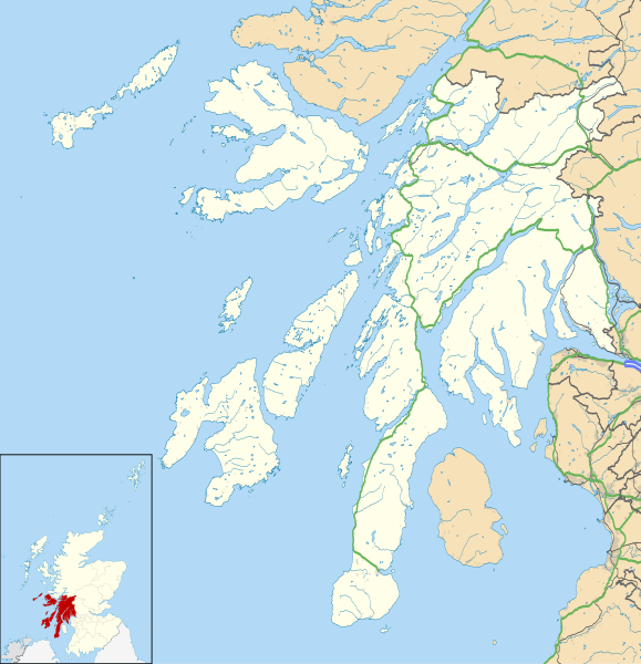
Blank map of Argyll and Bute, UK with the following information shown:
Equirectangular map projection on WGS 84 datum, with N/S stretched 175% Geographic limits:
|
| Date | |
| Soorce |
|
| Author | Nilfanion, created using Ordnance Survey data |
| Permission (Reuisin this file) |
This file is licensed unner the Creative Commons Attribution-Share Alike 3.0 Unported license. Attribution: Contains Ordnance Survey data © Crown copyright and database right
|
| Other versions | Argyll and Bute UK blank map.svg - Blank map |
| SVG genesis |
File history
Clap oan ae date/time fer tae see the file aes it kithed at that time.
| Date/Time | Thummnail | Dimensions | Uiser | Comment | |
|---|---|---|---|---|---|
| current | 20:03, 26 September 2010 | | 1,336 × 1,384 (3.65 MB) | Nilfanion | {{Information |Description=Blank map of Argyll and Bute, UK with the following information shown: *Administrative borders *Coastline, lakes and rivers *Roads and railways *Urban areas Equirectangular map projection on WGS 84 datum, |
Eimage airtins
The follaein pages airts tae this image:
Global file uisage
The follaein ither wikis uise this file:
- Uisage on ar.wikipedia.org
- Uisage on ba.wikipedia.org
- Uisage on bg.wikipedia.org
- Uisage on ceb.wikipedia.org
- Uisage on de.wikipedia.org
- Uisage on en.wikipedia.org
- List of monastic houses in Scotland
- Argyll and Bute
- Dunoon
- RAF Machrihanish
- Campbeltown Airport
- Rothesay
- Tobermory, Mull
- Lochgilphead
- Mull of Kintyre
- Kilcreggan
- Port Ellen
- Lagavulin
- Ardrishaig
- Kilchurn Castle
- Duart Castle
- RNAS Machrihanish (HMS Landrail)
- Calgary, Mull
- Port Bannatyne
- Crinan, Argyll
- Carradale
- Kennacraig
- Peninver
- Saddell
- Islay Airport
- Bunessan
- Knockan
- Southend, Argyll
- Kintra
- Fionnphort
- Ardlui
- Bowmore
- Craighouse
View mair global usage o this file.