File:AMS - Series P502 - North Africa - NG-36-09 Al Kharijah.jpg

Size o this luikower: 791 × 599 pixels. Ither resolutions: 317 × 240 pixels | 634 × 480 pixels | 1,014 × 768 pixels | 1,280 × 970 pixels | 2,560 × 1,939 pixels | 5,000 × 3,788 pixels.
Oreeginal file (5,000 × 3,788 pixels, file size: 1.62 MB, MIME type: image/jpeg)
Ootline
| Descreeption |
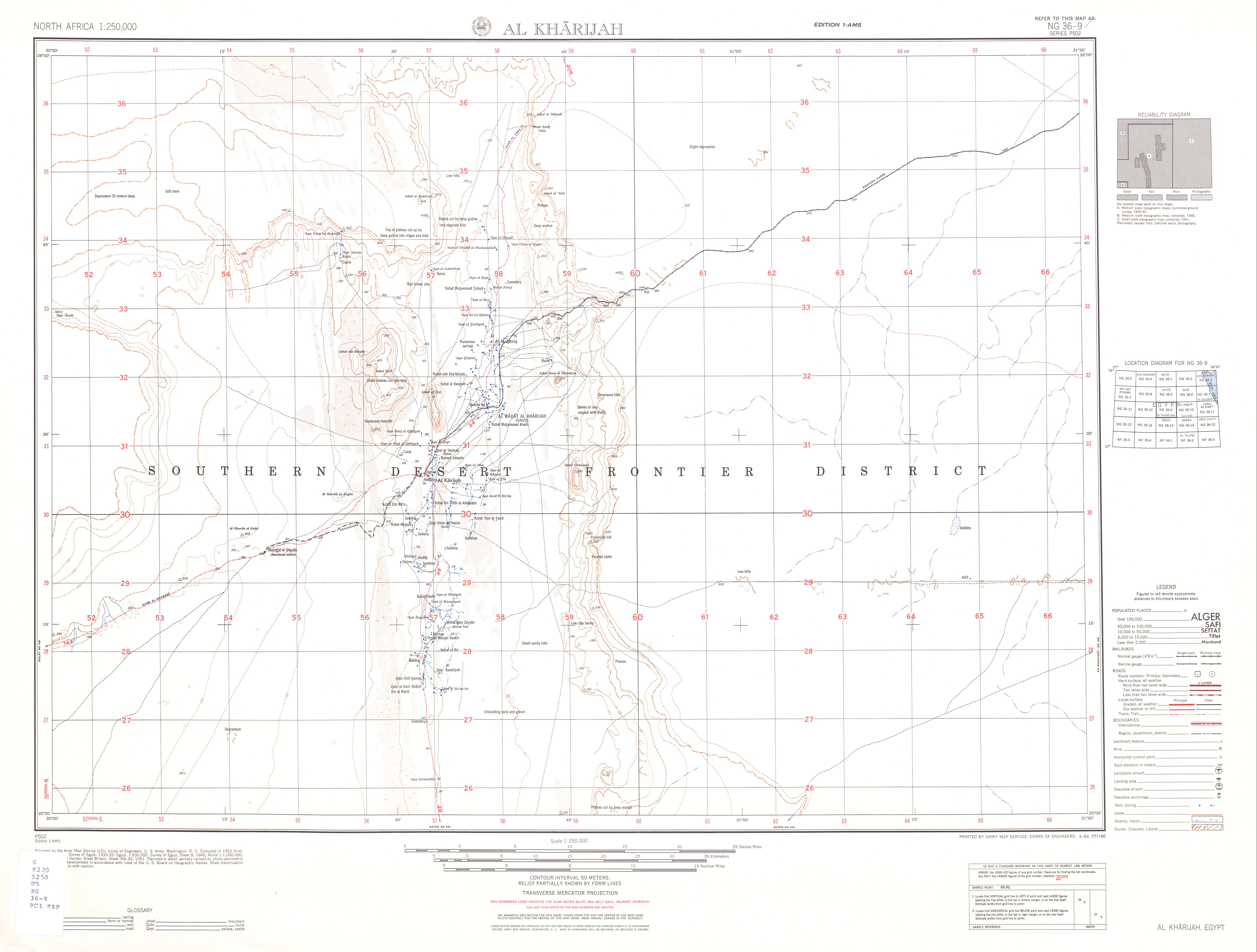
English: Map sheet showing Kharga Oasis in 1952, in southwestern Egypt |
| Date | |
| Soorce | http://www.lib.utexas.edu/maps/ams/north_africa/txu-oclc-6949452-ng-36-9.jpg |
| Author | Army Map Service, Corps of Engineers |
Licensin
This file is a work of a U.S. Army soldier or employee, taken or made as part of that person's official duties. As a work of the U.S. federal government, it is in the public domain in the United States.
|
 |
File history
Clap oan ae date/time fer tae see the file aes it kithed at that time.
| Date/Time | Thummnail | Dimensions | Uiser | Comment | |
|---|---|---|---|---|---|
| current | 21:25, 23 Julie 2010 | | 5,000 × 3,788 (1.62 MB) | Ratzer | {{Information |Description={{en|1=map sheet showing Kharga Oasis, southern Egypt}} |Source=http://www.lib.utexas.edu/maps/ams/north_africa/txu-oclc-6949452-ng-36-9.jpg |Author=Army Map Service, Corps of Engineers |Date=1952 |Permission= |other_versions= } |
Eimage airtins
The follaein pages airts tae this image:
Global file uisage
The follaein ither wikis uise this file:
- Uisage on de.wikipedia.org
- Uisage on de.wikivoyage.org
- Uisage on en.wikipedia.org
- Uisage on ru.wikipedia.org