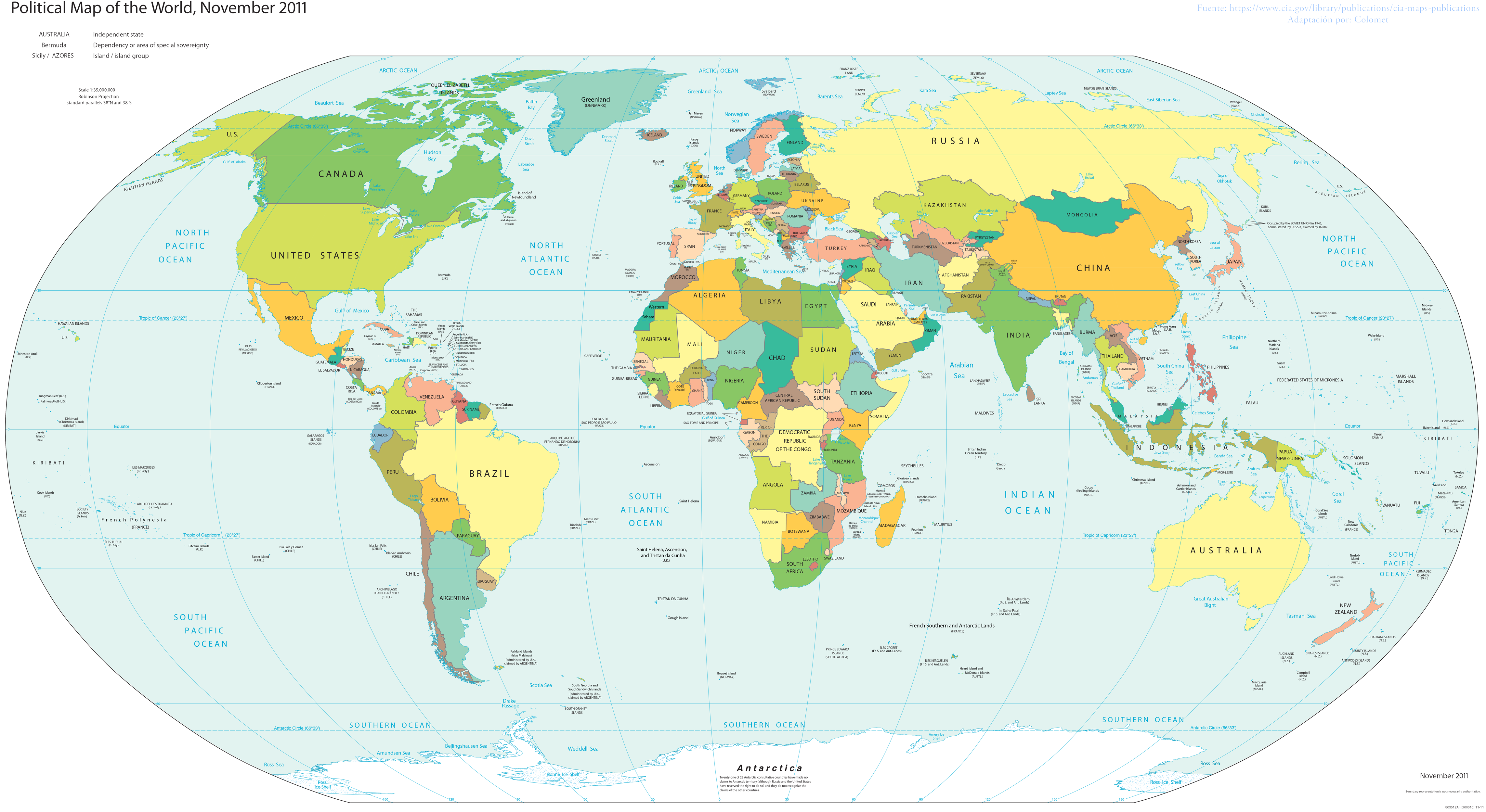
File:Political map of the World (November 2011).png
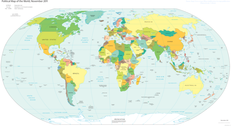
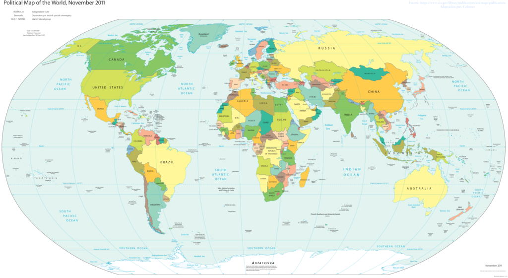
Size o this luikower: 800 × 437 pixels. Ither resolutions: 320 × 175 pixels | 640 × 350 pixels | 1,024 × 560 pixels | 1,280 × 700 pixels | 2,560 × 1,400 pixels | 4,572 × 2,500 pixels.
Oreeginal file (4,572 × 2,500 pixels, file size: 3.46 MB, MIME type: image/png)
Ootline

|
This file requires updating because: s/CZECH REP./CZECHIA; s/SWAZILAND/eSWATINI; label TAIWAN separately from CHINA In doing so, you could add a timestamp to the file.
|
| Descreeption |
English: World map; partially inaccurate, as Taiwan is shown as part of China. POV-pushing users have reverted attempts to update this map to include other partially-unrecognized countries, due to the 2011 date on the map; however, South Sudan did not exist in 2011, and it's still on the map. |
| Date | |
| Soorce | Basado en el Mapa politico de la CIA |
| Author | Colomet |
| Other versions |
 |


.png)
Licensin
I, the copyright holder of this work, hereby publish it under the following license:
This file is licensed unner the Creative Commons Attribution-Share Alike 3.0 Unported license.
- Ye are free:
- tae share – tae copy, distribute an transmit the wirk
- tae remix – tae adapt the wirk
- Unner the follaein condeetions:
- attribution – Ye must attribute the wirk in the manner specified bi the author or licensor (but nae in ony way that suggests that thay endorse ye or yer uise o the wirk).
- share alik – If ye alter, transform, or big upon this wirk, ye mey distribute the resultin wirk anly unner the same or seemilar license tae this ane.
This image is in the public domain because it contains materials that originally came from the United States Central Intelligence Agency's World Factbook.
|
 |
File history
Clap oan ae date/time fer tae see the file aes it kithed at that time.
.png&dir=prev)
.png&offset=20170108210230)
.png&offset=&limit=20)
.png&offset=&limit=50)
.png&offset=&limit=100)
.png&offset=&limit=250)
.png&offset=&limit=500)
| Date/Time | Thummnail | Dimensions | Uiser | Comment | |
|---|---|---|---|---|---|
| current | 18:00, 24 November 2017 | | 4,572 × 2,500 (3.46 MB) | Rob984 | Reverted to version as of 23:35, 16 November 2017 (UTC) Crimea wasn't controlled by Russia in November 2011. Please fix the date. Also dont add Turkish occupation zones as Turkey, they are not. |
| 19:17, 23 November 2017 |  | 4,572 × 2,500 (3.43 MB) | Koxem918 | Slight coloring fix in Russian area around Abkhazia. | |
| 19:13, 23 November 2017 |  | 4,572 × 2,500 (3.43 MB) | Koxem918 | Added back in Russian control over Ukraine as well as Turkish control of northern Syria, neither of which had been established when the map was created. Also added back in Abkhazia. | |
| 23:35, 16 November 2017 |  | 4,572 × 2,500 (3.46 MB) | Mitolith | Reverted to version as of 23:13, 31 January 2012 (UTC) | |
| 02:37, 30 Julie 2017 |  | 4,572 × 2,500 (2.79 MB) | Salem.leo.1 | Added in Donetsk's People's Republic, South Ossetia, Abkhazia | |
| 21:03, 26 Mairch 2017 |  | 4,572 × 2,500 (3.43 MB) | Salem Leo | Added in Kosovo. | |
| 19:58, 26 Mairch 2017 |  | 4,572 × 2,500 (3.43 MB) | Salem Leo | Added in area controlled by Turkey in Northern Syria due to Operation Euphrates Shield. | |
| 18:45, 26 Mairch 2017 |  | 4,572 × 2,500 (3.41 MB) | Salem Leo | Colouring fix. | |
| 21:04, 8 Januar 2017 |  | 4,572 × 2,500 (3.43 MB) | Rob984 | Reverted to version as of 03:16, 30 November 2016 (UTC) ISIS is not a recognised country.... | |
| 21:02, 8 Januar 2017 |  | 4,572 × 2,500 (3.43 MB) | Rob984 | Reverted to version as of 04:11, 30 November 2016 (UTC) |
Eimage airtins
The follaein pages airts tae this image:
Global file uisage
The follaein ither wikis uise this file:
- Uisage on ar.wikipedia.org
- Uisage on awa.wikipedia.org
- Uisage on crh.wikipedia.org
- Uisage on cv.wikipedia.org
- Uisage on en.wikipedia.org
- Uisage on eo.wikipedia.org
- Uisage on es.wikipedia.org
- Uisage on fa.wikiquote.org
- Uisage on fi.wikipedia.org
- Uisage on gl.wikipedia.org
- Uisage on ha.wikipedia.org
- Uisage on he.wikipedia.org
- Uisage on ht.wikipedia.org
- Uisage on incubator.wikimedia.org
- Uisage on ka.wikipedia.org
- Uisage on lo.wikipedia.org
- Uisage on nl.wikipedia.org
- Uisage on pt.wikipedia.org
- Uisage on ru.wikipedia.org
- Uisage on si.wikipedia.org
- Uisage on sv.wikipedia.org
- Uisage on th.wikipedia.org
- Uisage on tly.wikipedia.org
- Uisage on uk.wikipedia.org
- Uisage on za.wikipedia.org
.png)