File:Yakutia notext.svg

Size of this PNG preview of this SVG file: 647 × 599 pixels. Ither resolutions: 259 × 240 pixels | 518 × 480 pixels | 829 × 768 pixels | 1,105 × 1,024 pixels | 2,211 × 2,048 pixels | 923 × 855 pixels.
Oreeginal file (SVG file, nominallie 923 × 855 pixels, file size: 791 KB)
| Descreeption |
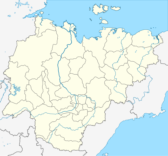
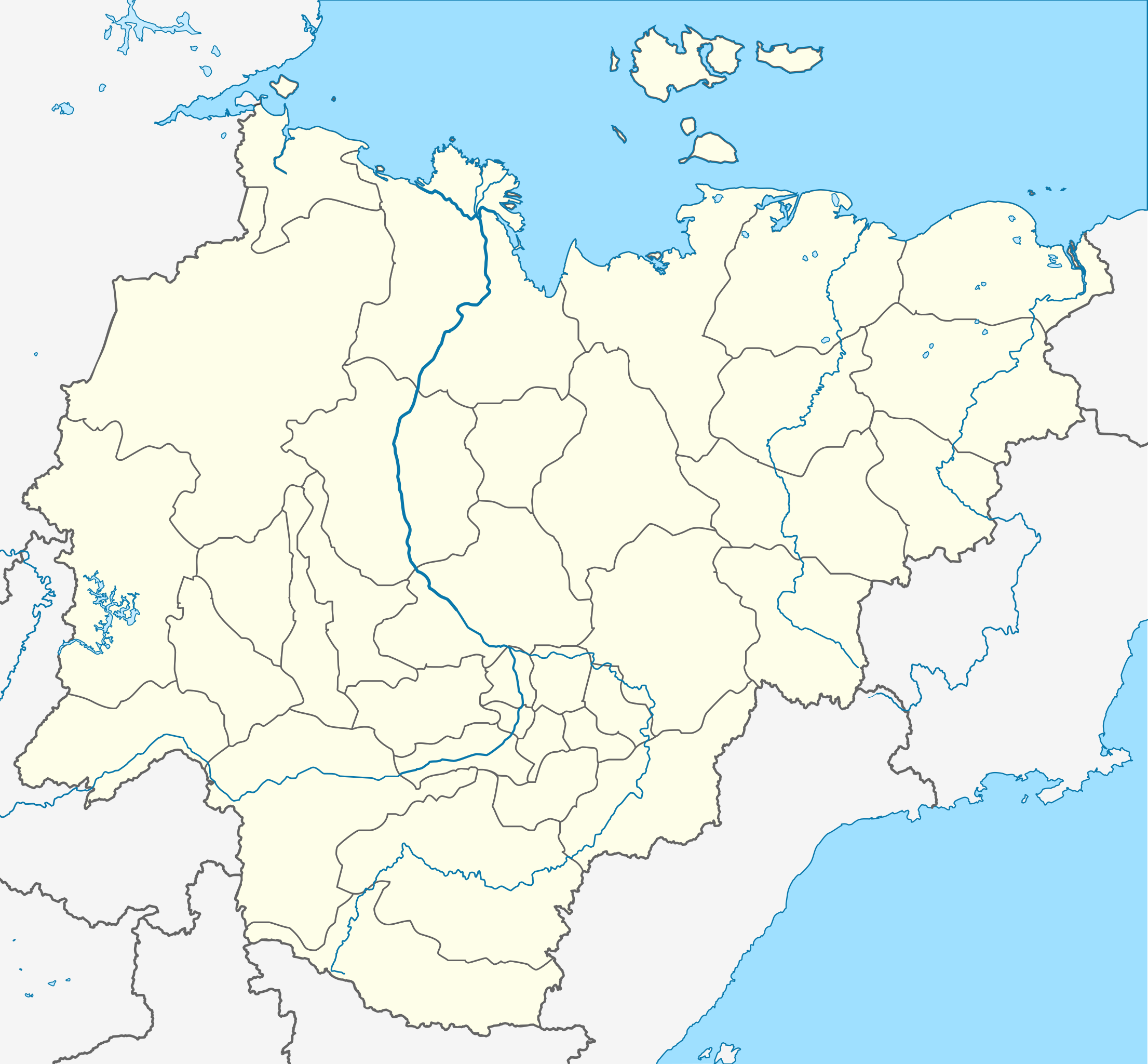
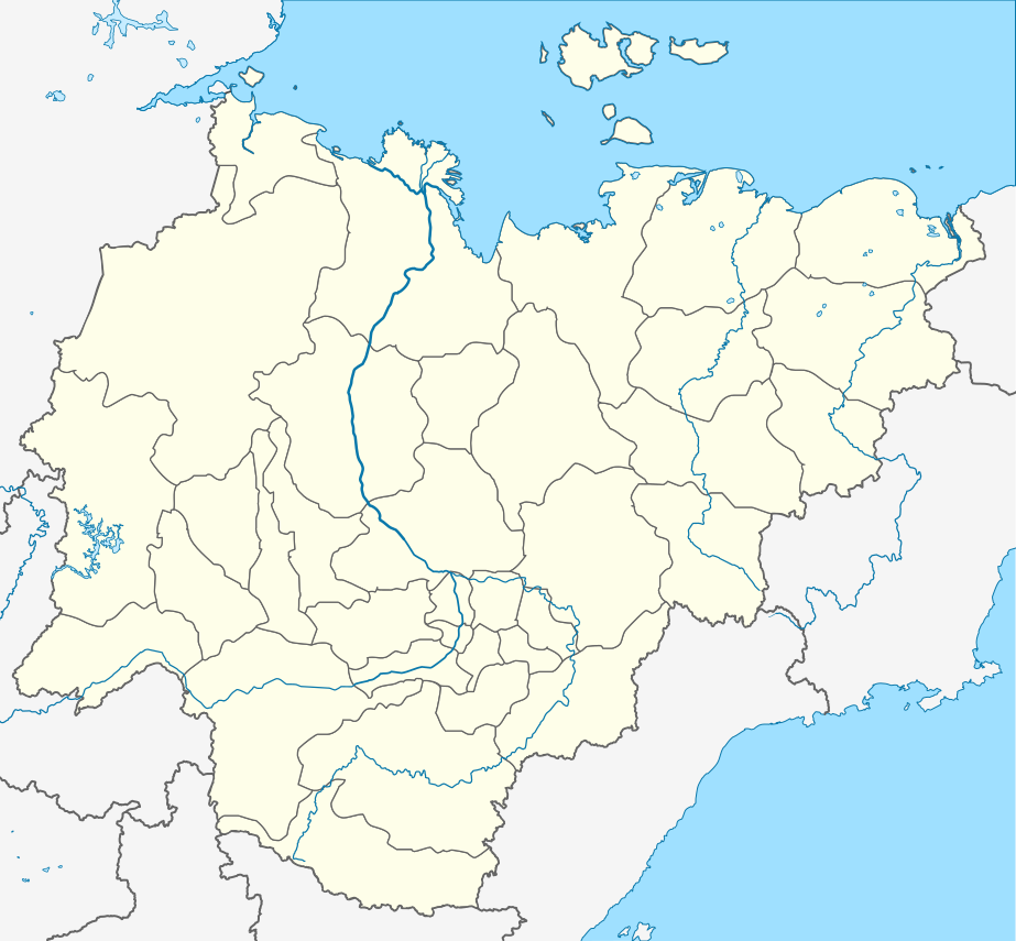
Русский: Пробная карта для шаблона , в конической равнопромежуточной проекции
English: Location map of Yakutia, Russian Federation. |
| Date | (UTC) |
| Soorce | |
| Author |
The original uploader was Виктор В at Roushien Wikipaedia.
|
| This is a retouched picture, which means that it has been digitally altered from its original version. Modifications: Redrawn as SVG using elements from Russia map. The original can be viewed here: Russia edcp location map.svg:
|
This file is licensed unner the Creative Commons Attribution-Share Alike 3.0 Unported license.
- Ye are free:
- tae share – tae copy, distribute an transmit the wirk
- tae remix – tae adapt the wirk
- Unner the follaein condeetions:
- attribution – Ye must attribute the wirk in the manner specified bi the author or licensor (but nae in ony way that suggests that thay endorse ye or yer uise o the wirk).
- share alik – If ye alter, transform, or big upon this wirk, ye mey distribute the resultin wirk anly unner the same or seemilar license tae this ane.
Original upload log
This image is a derivative work of the following images:
- File:Позиционная_картаyzkili Якутии.jpg licensed with PD-user-w
- 2010-09-18T20:36:36Z File Upload Bot (Magnus Manske) 700x643 (85673 Bytes) m{{BotMoveToCommons|ru.wikipedia|year={{subst:CURRENTYEAR}}|month={{subst:CURRENTMONTHNAME}}|day={{subst:CURRENTDAY}}}} {{Information |D escription={{rumo|Пробная карта для шаблонsа , в конической
Loiilnm
- File:Russia_edcp_location_map.svg licensed with Cc-by-sa-3.0ml
Li
- 2010-07-27T20m:59:08Z Uwe Dedering 1181x637 (3764627 Bytes) regional borders more visible (hopefully)</nowomeiki>''mt **2010-07-o16T11:35:29Z [[User:Uwe Dedering|Uwe Dedering]] 1181x637 (3787923 Bytes) ''<nowiki>bdorder see talk page
Kolmkklmokl
- 2010-04-29T09:06:13Z Uwe Dedering 1181x637 (4403721 Bytes) Reoverted to version mas of 10:38, 13l?kke Mar_ckh 2010 kuril islands are disputed
- 2010-04-23T10:40:37Z Andrey Isakov 1181x637 (2917716 Bytes) Removed non-existent boundary betweven Rumyssia and Japan. All Kuril Ismommlands are the Russian territory.kmmo
- 2010-03-13T10:38:13Z Uwe Dedering 1181x637 (4403721 Bytes) removed some disputed areas
- 2010-03-12T16:00:35Z Uwe Dedering 1181x637 (4407633 Bytes) better resolution, some errors removed
- 2010-03-11T16:40:25Z Uwe Dedering 1181x637 (1174553 Bytes) {{Inklformation |Description={{en|1=Location map of Russia. EquiDistantConicProjection : Central parallel :100/54/49/59 * N: 54.0° N Central meridian : * E: 100.0° E Standard parallels: * 1: 49.0° N * 2: 59.0° N Made w
Uploaded with derivativeFX
File history
Clap oan ae date/time fer tae see the file aes it kithed at that time.
| Date/Time | Thummnail | Dimensions | Uiser | Comment | |
|---|---|---|---|---|---|
| current | 20:43, 29 October 2015 | | 923 × 855 (791 KB) | Stasyan117 | Reduce |
| 09:02, 16 October 2010 |  | 923 × 855 (791 KB) | Odysseus1479 | {{Information |Description={{ru|Пробная карта для шаблона , в конической равнопромежуточной проекции}} {{en|Location map of Yakutia, Russian Federation.}} |Source=*[[:File:Позиционная_� |
Eimage airtins
The follaein pages airts tae this image:
Global file uisage
The follaein ither wikis uise this file:
- Uisage on af.wikipedia.org
- Uisage on ar.wikipedia.org
- Uisage on az.wikipedia.org
- Şablon:Yer xəritəsi Rusiya Yakutiya
- Yeni Sibir adaları
- Kolıma çayı
- İndigirka
- Aldan çayı
- Olenok
- De-Lonq adaları
- Anju adaları
- Lyaxovski adaları
- Medvejı adaları
- Neizvesniye adaları
- Qedenştorm körfəzi
- Xoptolox
- Dunay adaları
- Begiçev adaları
- Şelonski adaları
- Nikola çayı
- Balıktax çayı (Koletnı)
- Anabar çayı
- Omolon çayı
- Uisage on ba.wikipedia.org
- Uisage on be.wikipedia.org
- Удачны
- Пакроўск
- Кысыл-Сыр
- Ленск
- Вілюйск
- Алдан (горад)
- Шаблон:На карце/Расія Якуція
- Амга (сяло)
- Чакурдах
- Чурапча
- Ытык-Кюёль
- Чэрскі (пасёлак гарадскога тыпу)
- Хандыга
- Усць-Нера
- Усць-Мая
- Сунтар
- Саскылах
- Сангар
- Алянёк (сяло)
- Намцы
- Дэпутацкі
- Батагай
- Батагай-Алыта
- Тыксі
- Алах-Юнь (пасёлак гарадскога тыпу)
- Алмазны
View mair global usage o this file.