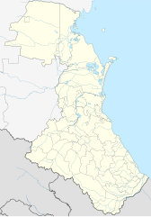
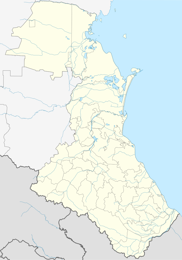
File:Russia Dagestan location map.svg

Size of this PNG preview of this SVG file: 419 × 599 pixels. Ither resolutions: 168 × 240 pixels | 335 × 480 pixels | 537 × 768 pixels | 716 × 1,024 pixels | 1,432 × 2,048 pixels | 744 × 1,064 pixels.
Oreeginal file (SVG file, nominallie 744 × 1,064 pixels, file size: 471 KB)
Ootline
| Descreeption |
English: Dagestan location map
Equirectangular projection, N/S stretching 136.7 %. True scale parallel: 43°00' N. Geographic limits of the map:
|
| Date | |
| Soorce | Ain wirk |
| Author | Das steinerne Herz |
| Other versions | Derivative works of this file: Russia Dagestan relief location map.png |
Licensin
I, the copyright holder of this work, hereby publish it under the following licenses:
This file is licensed unner the Creative Commons Attribution-Share Alike 3.0 Unported license.
- Ye are free:
- tae share – tae copy, distribute an transmit the wirk
- tae remix – tae adapt the wirk
- Unner the follaein condeetions:
- attribution – Ye must attribute the wirk in the manner specified bi the author or licensor (but nae in ony way that suggests that thay endorse ye or yer uise o the wirk).
- share alik – If ye alter, transform, or big upon this wirk, ye mey distribute the resultin wirk anly unner the same or seemilar license tae this ane.

|
Permission is grantit tae copy, distribute an/or modify this document unner the terms o the GNU Free Documentation License, Version 1.2 or ony later version published bi the Free Software Foundation; wi no Invariant Sections, no Front-Cover Texts, an no Back-Cover Texts. A copy o the license is includit in the section enteetled GNU Free Documentation License. |
Ye mey select the license o yer choice.
File history
Clap oan ae date/time fer tae see the file aes it kithed at that time.
| Date/Time | Thummnail | Dimensions | Uiser | Comment | |
|---|---|---|---|---|---|
| current | 10:04, 5 November 2023 | | 744 × 1,064 (471 KB) | Takhirgeran Umar | Hid the contour of the border of Chechnya and Georgia, which spoiled the view |
| 22:22, 13 Julie 2022 |  | 744 × 1,064 (480 KB) | Takhirgeran Umar | уточнение | |
| 08:00, 7 Februar 2020 |  | 744 × 1,064 (479 KB) | Takhirgeran Umar | исп. | |
| 17:56, 13 August 2017 |  | 744 × 1,064 (321 KB) | Gajmar | Makhachkala border | |
| 14:00, 30 Julie 2017 |  | 744 × 1,064 (245 KB) | Gajmar | background | |
| 13:14, 14 November 2016 |  | 744 × 1,064 (244 KB) | Stasyan117 | граница | |
| 10:36, 30 November 2015 |  | 744 × 1,064 (236 KB) | Takhirgeran Umar | округа | |
| 14:57, 21 Julie 2012 |  | 744 × 1,064 (2.11 MB) | Takhirgeran Umar | Граница | |
| 19:02, 18 September 2011 |  | 744 × 1,064 (2.1 MB) | Das steinerne Herz | изменение границы Казбековского района | |
| 14:32, 18 September 2011 |  | 744 × 1,064 (2.1 MB) | Takhirgeran Umar | Reverted to version as of 12:45, 27 February 2011 |
Eimage airtins
The follaein pages airts tae this image:
Global file uisage
The follaein ither wikis uise this file:
- Uisage on af.wikipedia.org
- Uisage on ar.wikipedia.org
- Uisage on av.wikipedia.org
- Дагъистан
- МахӀачхъала
- ЦӀобокь
- Сулахъ
- Шура
- Хубар
- Хунзахъ мухъ
- МелъелтӀа
- СугъралӀ
- ЧӀарада мухъ
- Халип:БакӀКарта
- Халип:БакӀКарта Россия Дагъистан
- Халип:Бак1Карта/doc
- Дербендалъул ЖумгӀа мажгит
- ЖумгӀа мажгит (МахӀачхъала)
- МахӀачхъала (аэропорт)
- Гъебгъуда
- Къеди
- Хунзахъ
- ГӀаймаки
- ГӀахьалчӀи
- КӀудияб ГьоцӀалӀ
- Хьонохъ (ЦӀумада мухъ)
- ГӀириб
- Халип:БакӀКарта/doc
- Хьинуб
- Нукъуш
- Рулдаб
- ЦӀуриб
- Магъар
- ЦӀулда
- Цемер
- Доронуб
- ХӀурухъ
- Гьилиб
- Гьочоб
- Мугурухъ
- Рисиб
- ЛъаратӀа мухъ
- ГӀурада
- КӀкӀаратӀа
- Хьиндахъ (Хунзахъ мухъ)
- Коло
- ГӀарани
- МочӀохъ
View mair global usage o this file.