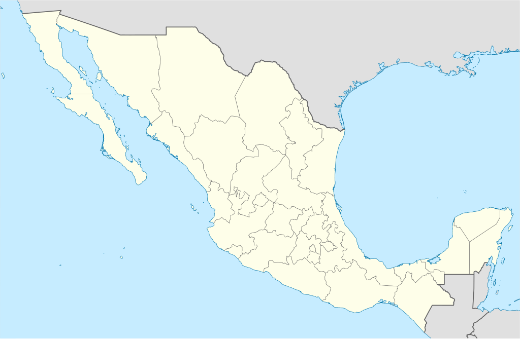
File:Mexico States blank map.svg

Size of this PNG preview of this SVG file: 800 × 523 pixels. Ither resolutions: 320 × 209 pixels | 640 × 418 pixels | 1,024 × 669 pixels | 1,280 × 837 pixels | 2,560 × 1,673 pixels | 2,029 × 1,326 pixels.
Oreeginal file (SVG file, nominallie 2,029 × 1,326 pixels, file size: 473 KB)
Yolot hdz
Ootline
| Descreeption | |
| Date | |
| Soorce | Image:Mexico blank.svg by Yavidaxiu under licence GFDL. |
| Author | Sémhur |
| Other versions |
Derivative works of this file: |
| Camera location | | View this and other nearby images on: OpenStreetMap |
|---|
W3C-validity not checked.
This W3C-unspecified vector image was created with Inkscape .
Licensin
I, the copyright holder of this work, hereby publish it under the following licenses:
| Copyleft: This wairk o airt is free; ye can redistreebute it n/or modifie it accordin til the terms o the Free Art License. Ye'll fynd ae specimen o this license oan the Copyleft Attitude steid aes weel aes oan ither steids. |
This file is licensed under the Creative Commons Attribution-Share Alike 4.0 International, 3.0 Unported, 2.5 Generic, 2.0 Generic and 1.0 Generic license.
- Ye are free:
- tae share – tae copy, distribute an transmit the wirk
- tae remix – tae adapt the wirk
- Unner the follaein condeetions:
- attribution – Ye must attribute the wirk in the manner specified bi the author or licensor (but nae in ony way that suggests that thay endorse ye or yer uise o the wirk).
- share alik – If ye alter, transform, or big upon this wirk, ye mey distribute the resultin wirk anly unner the same or seemilar license tae this ane.
Ye mey select the license o yer choice.
File history
Clap oan ae date/time fer tae see the file aes it kithed at that time.
| Date/Time | Thummnail | Dimensions | Uiser | Comment | |
|---|---|---|---|---|---|
| current | 15:41, 13 August 2010 | | 2,029 × 1,326 (473 KB) | Kmusser | Try that again |
| 15:41, 13 August 2010 |  | 975 × 654 (361 KB) | Kmusser | change projection to match that used at File:Mexico location map.svg so should be more accurate for pushpins, also reverted Yucatan boundary change to match Mexican government maps. | |
| 11:58, 25 Mey 2009 |  | 975 × 654 (361 KB) | Sémhur | Modify border south between Quintana Roo and Campeche | |
| 08:31, 24 Mey 2009 |  | 975 × 654 (361 KB) | Sémhur | Adding Yucatan states | |
| 12:57, 24 September 2008 |  | 975 × 654 (330 KB) | Sémhur | new try | |
| 12:40, 24 September 2008 |  | 975 × 654 (328 KB) | Sémhur | Thiner strokes | |
| 12:37, 24 September 2008 |  | 975 × 654 (328 KB) | Sémhur | {{Information |Description= {{en|Map of Mexico, with states borders.}} {{es|Mapa de Mexico, con los límites de los estados.}} {{fr|Carte du Mexique, avec les limites des états.}} |Source=Travail personnel / Own work. Source : * [[:Image:Mexico blank.sv |
Eimage airtins
Mair nor 100 pages airt til this file. The follaein leet shaws the first 100 page airtins that uise this file anely . Ae fu leet is available.
- Ahumada Municipality
- Aldama Municipality, Chihuahua
- Allende Municipality, Chihuahua
- Apan
- Aquiles Serdán Municipality
- Ascensión Municipality
- Bachíniva Municipality
- Balleza Municipality
- Batopilas Municipality
- Bocoyna
- Bocoyna Municipality
- Cadereyta Jiménez
- Camargo Municipality, Chihuahua
- Carichí Municipality
- Casas Grandes Municipality
- Chihuahua Municipality
- China, Nuevo León
- Chínipas Municipality
- Ciudad Juárez
- Coronado Municipality
- Coyame del Sotol Municipality
- Cuauhtémoc Municipality, Chihuahua
- Cusihuiriachi Municipality
- Delicias Municipality
- Dr. Belisario Domínguez Municipality
- El Rosario, Sinaloa
- El Tule Municipality
- Francisco I. Madero Municipality, Hidalgo
- Galeana, Nuevo León
- Galeana Municipality
- Gran Morelos
- Guachochi Municipality
- Guadalajara, Jalisco
- Guadalupe Municipality, Chihuahua
- Guadalupe y Calvo Municipality
- Guazapares
- Guerrero Municipality, Chihuahua
- Gómez Farías Municipality, Chihuahua
- Hidalgo Municipality, Coahuila
- Hidalgo del Parral Municipality
- Hualahuises
- Huejotitán Municipality
- Huichapan
- Ignacio Zaragoza Municipality
- Jacala
- Jalpan de Serra
- Jaltocan
- Janos, Chihuahua
- Janos Municipality
- Jiménez Municipality, Chihuahua
- Julimes Municipality
- Juárez, Hidalgo
- Juárez Municipality, Chihuahua
- Juárez Municipality, Coahuila
- La Cruz Municipality
- La Misión, Hidalgo
- Lamadrid Municipality
- López Municipality
- Madera Municipality
- Maguarichi Municipality
- Manuel Benavides Municipality
- Matachí Municipality
- Matamoros Municipality, Chihuahua
- Meoqui
- Monterrey
- Morelos Municipality, Chihuahua
- Moris Municipality
- Namiquipa Municipality
- Nonoava Municipality
- Ocampo Municipality, Chihuahua
- Ocampo Municipality, Coahuila
- Ojinaga Municipality
- Orizatlán
- Práxedis G. Guerrero, Chihuahua
- Práxedis G. Guerrero Municipality
- Puebla, Puebla
- Riva Palacio Municipality
- Rosales Municipality
- Rosario Municipality, Chihuahua
- Sabinas Hidalgo
- Saltillo Municipality
- San Francisco de Borja Municipality
- San Francisco de Conchos Municipality
- San Francisco del Oro Municipality
- San Ignacio, Sinaloa
- San José del Cabo
- San Lorenzo, Chihuahua
- Santa Bárbara Municipality
- Santa Isabel Municipality
- Satevó Municipality
- Saucillo Municipality
- Tecozautla
- Temósachi Municipality
- Tenango de Doria
- Tepeapulco
- Tijuana
- Tulantepec de Lugo Guerrero
- Urique Municipality
- Uruachi Municipality
- Valle de Zaragoza Municipality
See mair links til this file.
Global file uisage
The follaein ither wikis uise this file:
- Uisage on af.wikipedia.org
- Uisage on am.wikipedia.org
- Uisage on ar.wikipedia.org
- Uisage on ast.wikipedia.org
- Uisage on azb.wikipedia.org
- Uisage on ban.wikipedia.org
- Uisage on bcl.wikipedia.org
- Uisage on bn.wikipedia.org
- Uisage on bs.wikipedia.org
- Uisage on ca.wikipedia.org
View mair global usage o this file.