File:Island of Ireland location map Waterford.svg

Size of this PNG preview of this SVG file: 481 × 599 pixels. Ither resolutions: 192 × 240 pixels | 385 × 480 pixels | 616 × 768 pixels | 822 × 1,024 pixels | 1,643 × 2,048 pixels | 1,450 × 1,807 pixels.
Oreeginal file (SVG file, nominallie 1,450 × 1,807 pixels, file size: 642 KB)
| Descreeption |
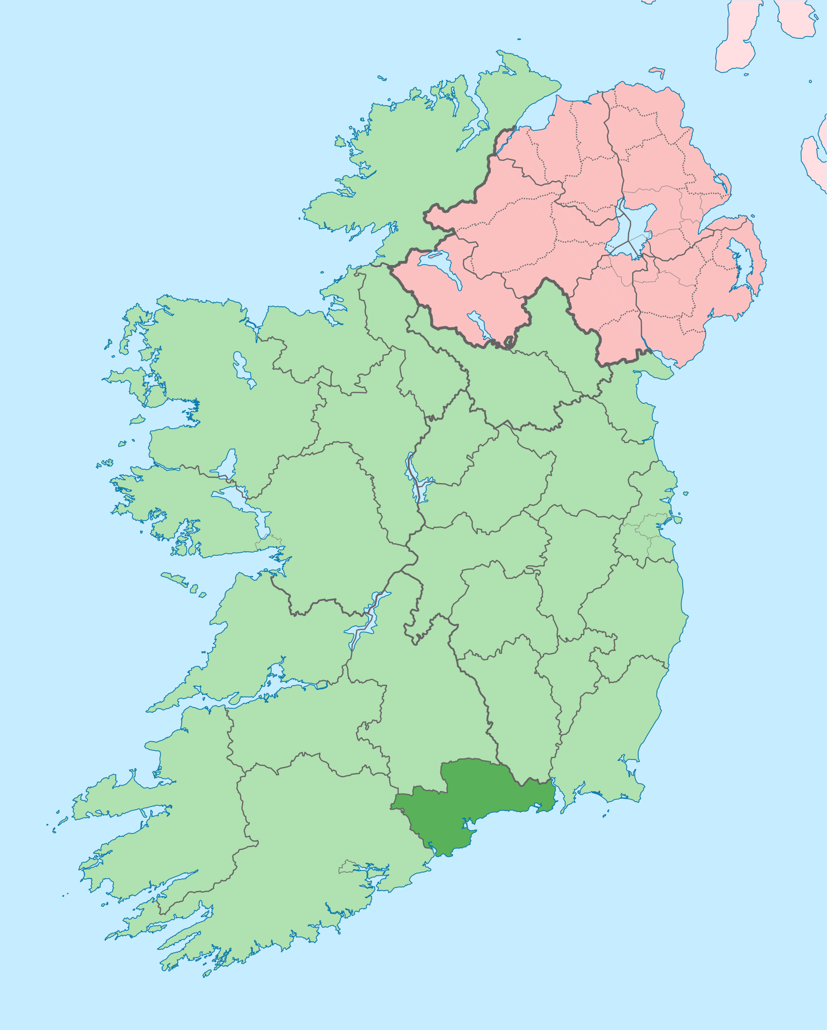
English: The island of Ireland, showing international border between Northern Ireland and Republic of Ireland, traditional provinces, traditional counties, and local authority areas in the Republic of Ireland and Northern Ireland. |
| Date | (UTC) |
| Soorce | |
| Author |
|
| This is a retouched picture, which means that it has been digitally altered from its original version. Modifications: Coloured in regions with county of article highlighted. The original can be viewed here: Island of Ireland location map.svg:
|
I, the copyright holder of this work, hereby publish it under the following license:
This file is licensed unner the Creative Commons Attribution-Share Alike 3.0 Unported license.
- Ye are free:
- tae share – tae copy, distribute an transmit the wirk
- tae remix – tae adapt the wirk
- Unner the follaein condeetions:
- attribution – Ye must attribute the wirk in the manner specified bi the author or licensor (but nae in ony way that suggests that thay endorse ye or yer uise o the wirk).
- share alik – If ye alter, transform, or big upon this wirk, ye mey distribute the resultin wirk anly unner the same or seemilar license tae this ane.
Original upload log
This image is a derivative work of the following images:
- File:Island_of_Ireland_location_map.svg licensed with Cc-by-sa-3.0
- 2010-03-06T20:43:33Z Rannpháirtí anaithnid 1450x1807 (679207 Bytes) Fix incorrectly coloured isands.
- 2010-03-03T22:19:29Z Rannpháirtí anaithnid 1450x1807 (679744 Bytes) {{Information |Description={{de|Positionskarte von [[:de:Irland|Irland]]}} Quadratische Plattkarte, N-S-Streckung 170 %. Geographische Begrenzung der Karte: * N: 55.6° N * S: 51.2° N * W: 11.0° W * O: 5.0° W {{en|Location
Uploaded with derivativeFX
File history
Clap oan ae date/time fer tae see the file aes it kithed at that time.
| Date/Time | Thummnail | Dimensions | Uiser | Comment | |
|---|---|---|---|---|---|
| current | 15:59, 26 Juin 2020 | | 1,450 × 1,807 (642 KB) | Chipmunkdavis | Per the Local Government Reform Act 2014, joining both Tipperarys and both Waterfords (and removing Limerick City code). Colouring in islands, cleaning up and grouping code to remove stray objects and show Galway and Lough Ree. |
| 01:02, 19 Julie 2010 |  | 1,450 × 1,807 (815 KB) | Mabuska | {{Information |Description={{en|The island of Ireland, showing international border between Northern Ireland and Republic of Ireland, traditional provinces, traditional counties, and local authority areas in the Republic of Ireland and Northern Ireland.}} |
Eimage airtins
The follaein pages airts tae this image:
Global file uisage
The follaein ither wikis uise this file:
- Uisage on ar.wikipedia.org
- Uisage on ast.wikipedia.org
- Uisage on bg.wikipedia.org
- Uisage on ca.wikipedia.org
- Uisage on ceb.wikipedia.org
- Uisage on cs.wikipedia.org
- Uisage on en.wikipedia.org
- County Waterford
- Waterford
- Tramore
- List of Ireland-related topics
- Dungarvan
- Dunmore East
- Lismore, County Waterford
- Ardmore, County Waterford
- Waterford Harbour
- Rathgormack
- Cappoquin
- N29 road (Ireland)
- Kilmacthomas
- Lemybrien
- Bunmahon
- Ring, County Waterford
- Ballylaneen
- Portlaw
- R683 road (Ireland)
- Tallow, County Waterford
- Fauscoum
- Villierstown
- Knockanore
- Hillview, Waterford
- Aglish
- Template:Waterford-geo-stub
- Clashmore
- Ballinacourty
- Grange, County Waterford
- Ballinamult
- Affane
- Abbeyside, Dungarvan
View mair global usage o this file.