File:France base map 18 regions.png

Size o this luikower: 648 × 599 pixels. Ither resolutions: 260 × 240 pixels | 519 × 480 pixels | 831 × 768 pixels | 1,108 × 1,024 pixels | 2,215 × 2,048 pixels.
Oreeginal file (2,215 × 2,048 pixels, file size: 482 KB, MIME type: image/png)
Ootline
| Descreeption |
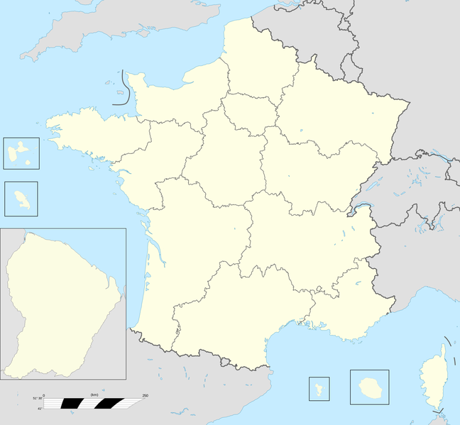
English: Base map of France with 18 regions. |
||
| Date | |||
| Soorce |
Ain wirk; This file was derived from: France fond de carte 27 régions.png |
||
| Author | User:Chessrat, User:Rosss, User:Sting | ||
| Other versions |
|

Licensin
Chessrat at Inglis Wikipaedia, the copyright holder of this work, hereby publishes it under the following license:
This file is licensed unner the Creative Commons Attribution-Share Alike 3.0 Unported license.
Attribution: Chessrat at Inglis Wikipaedia
- Ye are free:
- tae share – tae copy, distribute an transmit the wirk
- tae remix – tae adapt the wirk
- Unner the follaein condeetions:
- attribution – Ye must attribute the wirk in the manner specified bi the author or licensor (but nae in ony way that suggests that thay endorse ye or yer uise o the wirk).
- share alik – If ye alter, transform, or big upon this wirk, ye mey distribute the resultin wirk anly unner the same or seemilar license tae this ane.
Original upload log
The original description page was here. All following user names refer to en.wikipedia.
| Date/Time | Dimensions | Uiser | Comment |
|---|---|---|---|
| 2015-12-28 12:54 | 2215×2048× (493061 bytes) | Chessrat | Base map of France with 18 regions. Modified from [[File:France fond de carte 27 régions.png]] by [[User:Rosss]]. |
File history
Clap oan ae date/time fer tae see the file aes it kithed at that time.
| Date/Time | Thummnail | Dimensions | Uiser | Comment | |
|---|---|---|---|---|---|
| current | 16:22, 10 Julie 2016 | | 2,215 × 2,048 (482 KB) | Kudelski | Transferred from en.wikipedia |
Eimage airtins
The follaein pages airts tae this image:
Global file uisage
The follaein ither wikis uise this file:
- Uisage on ar.wikipedia.org
- Uisage on ast.wikipedia.org
- Uisage on azb.wikipedia.org
- Uisage on bn.wikipedia.org
- Uisage on ca.wikipedia.org
- Uisage on en.wikipedia.org
- Regions of France
- Administrative divisions of France
- Ranked list of French regions
- France
- Template:France Regions Labelled Map
- Football rivalries in France
- Politics of country subdivisions
- Outline of France
- Talk:France/Archive 5
- User:Liam987/sandbox
- List of French regions and overseas collectivities by GDP
- Talk:France/Archive 7
- Uisage on en.wikibooks.org
- Uisage on es.wikipedia.org
View mair global usage o this file.