File:East Renfrewshire UK location map.svg

Size of this PNG preview of this SVG file: 634 × 600 pixels. Ither resolutions: 254 × 240 pixels | 507 × 480 pixels | 812 × 768 pixels | 1,083 × 1,024 pixels | 2,165 × 2,048 pixels | 1,425 × 1,348 pixels.
Oreeginal file (SVG file, nominallie 1,425 × 1,348 pixels, file size: 825 KB)
| Descreeption |
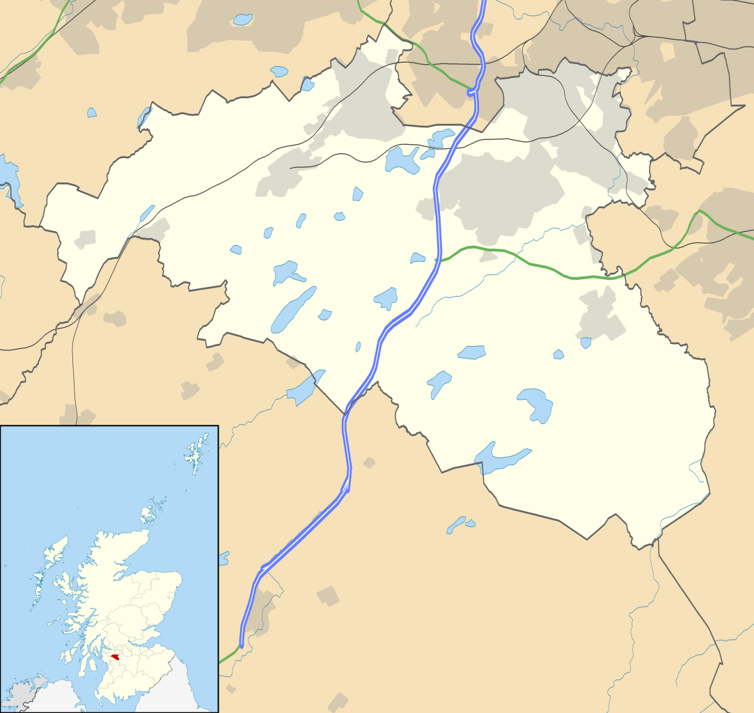
Blank map of East Renfrewshire, UK with the following information shown:
Equirectangular map projection on WGS 84 datum, with N/S stretched 175% Geographic limits:
|
| Date | |
| Soorce |
|
| Author | Nilfanion, created using Ordnance Survey data |
| Permission (Reuisin this file) |
This file is licensed unner the Creative Commons Attribution-Share Alike 3.0 Unported license. Attribution: Contains Ordnance Survey data © Crown copyright and database right
|
| Other versions | File:East Renfrewshire UK blank map.svg - Blank map |
File history
Clap oan ae date/time fer tae see the file aes it kithed at that time.
| Date/Time | Thummnail | Dimensions | Uiser | Comment | |
|---|---|---|---|---|---|
| current | 20:13, 26 September 2010 | | 1,425 × 1,348 (825 KB) | Nilfanion | {{Information |Description=Blank map of East Renfrewshire, UK with the following information shown: *Administrative borders *Coastline, lakes and rivers *Roads and railways *Urban areas Equirectangular map projection on WGS 84 dat |
Eimage airtins
The follaein pages airts tae this image:
Global file uisage
The follaein ither wikis uise this file:
- Uisage on ar.wikipedia.org
- Uisage on bg.wikipedia.org
- Uisage on ceb.wikipedia.org
- Uisage on de.wikipedia.org
- Uisage on en.wikipedia.org
- East Renfrewshire
- Barrhead
- Newton Mearns
- Giffnock
- Netherlee
- Uplawmoor
- Eaglesham
- Thornliebank
- Muirend
- Stamperland
- Neilston
- Patterton railway station
- Busby, East Renfrewshire
- Waterfoot, East Renfrewshire
- Thorntonhall
- Deaconsbank
- Greenbank Garden
- Module:Location map/data/Scotland East Renfrewshire/doc
- Clarkston explosion
- Clarkston, East Renfrewshire
- Shillford
- Dunterlie Park (1882–1906)
- Dunterlie Park (1906–1919)
- Dunterlie Park
- Module:Location map/data/Scotland East Renfrewshire
- Millhall
- Netherplace
- Barrhead Burgh Hall
- Uisage on eo.wikipedia.org
- Uisage on es.wikipedia.org
- Uisage on fa.wikipedia.org
View mair global usage o this file.