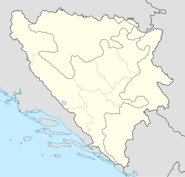
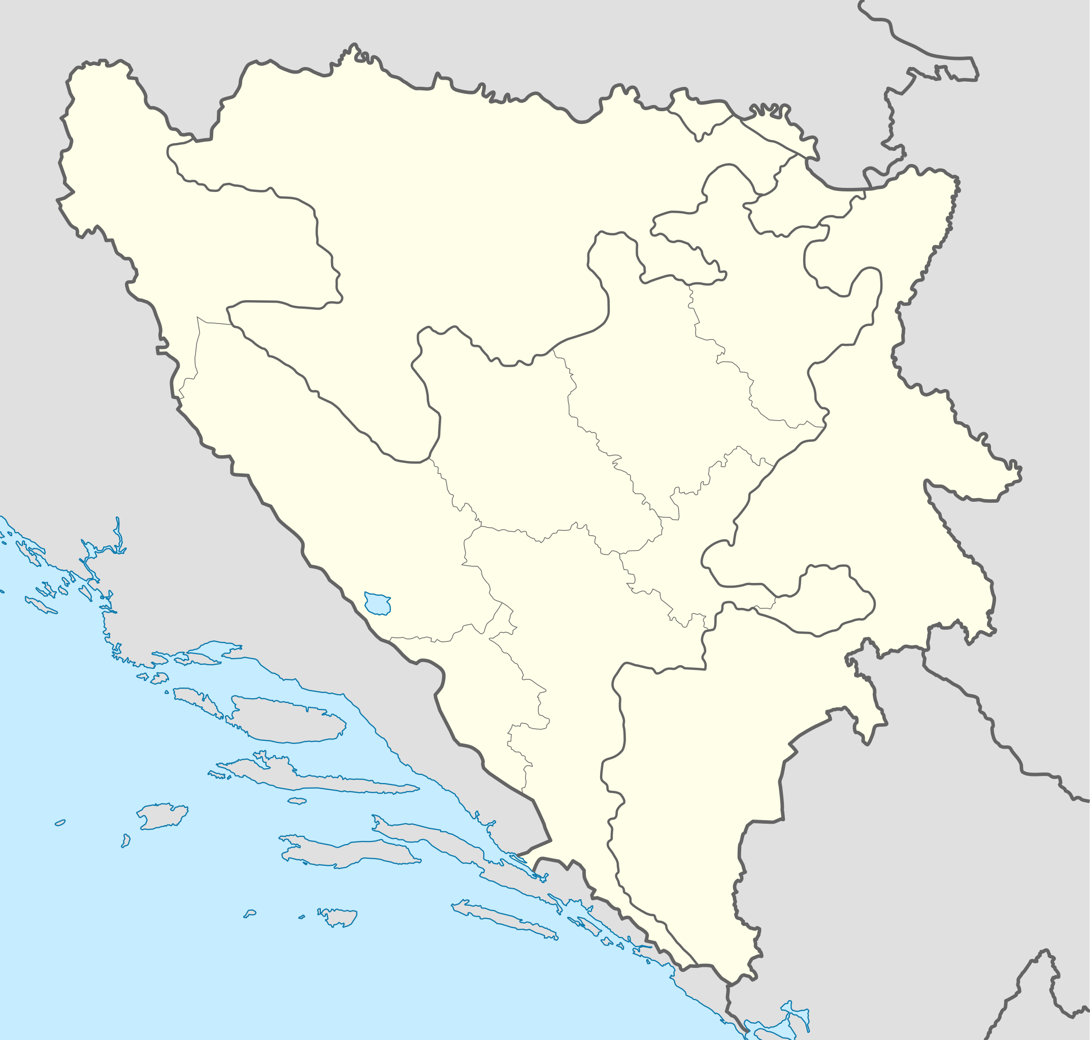
File:Bosnia and Herzegovina location map.svg

Size of this PNG preview of this SVG file: 628 × 599 pixels. Ither resolutions: 252 × 240 pixels | 503 × 480 pixels | 805 × 768 pixels | 1,074 × 1,024 pixels | 2,147 × 2,048 pixels | 1,063 × 1,014 pixels.
Oreeginal file (SVG file, nominallie 1,063 × 1,014 pixels, file size: 141 KB)
Ootline
| Descreeption |
Deutsch: Positionskarte von Bosnien und Herzegowina
Quadratische Plattkarte, N-S-Streckung 140 %. Geographische Begrenzung der Karte:
English: Location map of Bosnia and Herzegovina
Equirectangular projection, N/S stretching 140 %. Geographic limits of the map:
|
| Date | |
| Soorce | own work, using United States National Imagery and Mapping Agency data |
| Author | NordNordWest |
| Other versions |
|


|
This map has been made or improved in the German Kartenwerkstatt (Map Lab). You can propose maps to improve as well.
|
Licensin
I, the copyright holder of this work, hereby publish it under the following licenses:

|
Permission is grantit tae copy, distribute an/or modify this document unner the terms o the GNU Free Documentation License, Version 1.2 or ony later version published bi the Free Software Foundation; wi no Invariant Sections, no Front-Cover Texts, an no Back-Cover Texts. A copy o the license is includit in the section enteetled GNU Free Documentation License. |
This file is licensed unner the Creative Commons Attribution-Share Alike 3.0 Unported license.
- Ye are free:
- tae share – tae copy, distribute an transmit the wirk
- tae remix – tae adapt the wirk
- Unner the follaein condeetions:
- attribution – Ye must attribute the wirk in the manner specified bi the author or licensor (but nae in ony way that suggests that thay endorse ye or yer uise o the wirk).
- share alik – If ye alter, transform, or big upon this wirk, ye mey distribute the resultin wirk anly unner the same or seemilar license tae this ane.
Ye mey select the license o yer choice.
File history
Clap oan ae date/time fer tae see the file aes it kithed at that time.
| Date/Time | Thummnail | Dimensions | Uiser | Comment | |
|---|---|---|---|---|---|
| current | 19:21, 10 November 2011 | | 1,063 × 1,014 (141 KB) | NordNordWest | at least we should keep lake Buško |
| 18:22, 10 November 2011 |  | 1,063 × 1,014 (143 KB) | Mostarac | Regije u RS-u imaju samo statističku funkciju, za razliku od županija/kantona u FBiH, koje su uprave podjedinice! | |
| 11:06, 3 October 2011 |  | 1,063 × 1,014 (148 KB) | NordNordWest | upd | |
| 16:19, 27 September 2011 |  | 1,063 × 1,014 (143 KB) | AnelZukic | once again reverted the changes, I'm givin up | |
| 16:16, 27 September 2011 | Naw thummnail | 0 × 0 (4.63 MB) | AnelZukic | added Republika Srpka regions | |
| 15:08, 27 September 2011 |  | 1,063 × 1,014 (143 KB) | AnelZukic | reverted the changes | |
| 15:03, 27 September 2011 |  | 1,280 × 1,208 (35 KB) | AnelZukic | Added regions in Republika Srpska | |
| 14:19, 11 Apryle 2011 |  | 1,063 × 1,014 (143 KB) | NordNordWest | upd | |
| 18:48, 25 August 2008 |  | 1,064 × 1,016 (223 KB) | NordNordWest | size correction | |
| 19:37, 30 Julie 2008 |  | 709 × 677 (220 KB) | NordNordWest | {{Information |Description= {{de|Positionskarte von Bosnien und Herzegowina}} Quadratische Plattkarte, N-S-Streckung 140 %. Geographische Begrenzung der Karte: * N: 45.4° N * S: 42.4° N * W: 15.5° O * O: 19.9° O {{en|Lo |
Eimage airtins
The follaein pages airts tae this image:
Global file uisage
The follaein ither wikis uise this file:
- Uisage on af.wikipedia.org
- Uisage on als.wikipedia.org
- Uisage on an.wikipedia.org
- Uisage on ar.wikipedia.org
- Uisage on arz.wikipedia.org
- Uisage on ast.wikipedia.org
- Uisage on av.wikipedia.org
- Uisage on azb.wikipedia.org
- Uisage on az.wikipedia.org
View mair global usage o this file.