File:Australia relief map.jpg

Size o this luikower: 668 × 600 pixels. Ither resolutions: 267 × 240 pixels | 534 × 480 pixels | 855 × 768 pixels | 1,140 × 1,024 pixels | 1,336 × 1,200 pixels.
Oreeginal file (1,336 × 1,200 pixels, file size: 366 KB, MIME type: image/jpeg)
Ootline
| Descreeption |
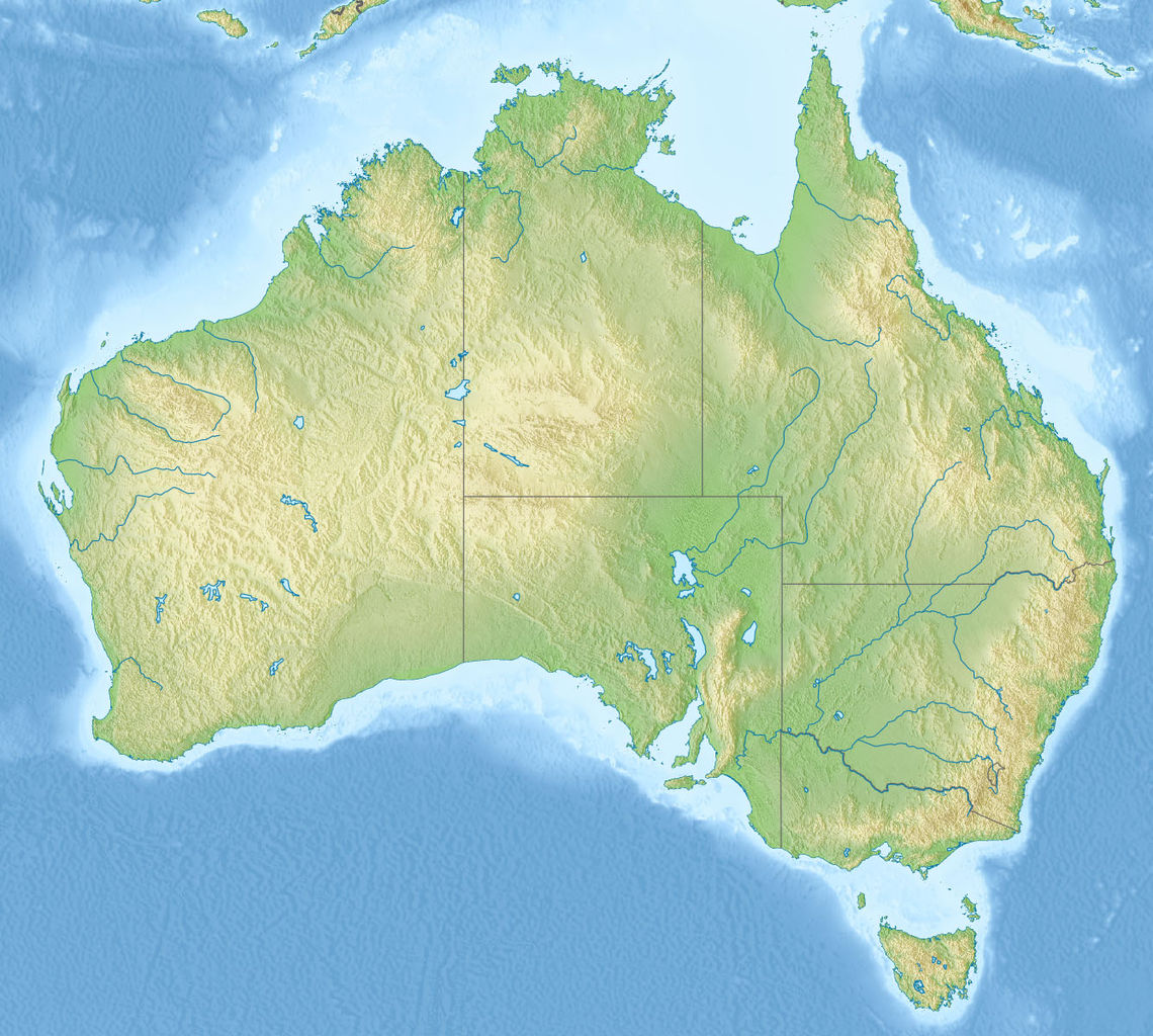
English: Relief map of Australia, including the borders of the states of the Commonwealth of Australia
Equirectangular projection, N/S stretching 110 %. Geographic limits of the map:
|
| Date | |
| Soorce |
|
| Author | |
| Other versions |
Derivative works of this file: Skylab reentry map.svg |

Licensin
This file is licensed unner the Creative Commons Attribution-Share Alike 3.0 Unported license.
- Ye are free:
- tae share – tae copy, distribute an transmit the wirk
- tae remix – tae adapt the wirk
- Unner the follaein condeetions:
- attribution – Ye must attribute the wirk in the manner specified bi the author or licensor (but nae in ony way that suggests that thay endorse ye or yer uise o the wirk).
- share alik – If ye alter, transform, or big upon this wirk, ye mey distribute the resultin wirk anly unner the same or seemilar license tae this ane.
File history
Clap oan ae date/time fer tae see the file aes it kithed at that time.
| Date/Time | Thummnail | Dimensions | Uiser | Comment | |
|---|---|---|---|---|---|
| current | 07:38, 14 November 2010 | | 1,336 × 1,200 (366 KB) | Виктор В | == {{int:filedesc}} == {{Information |Description={{en|Relief map of Australia}} Equirectangular projection, N/S stretching 110 %. Geographic limits of the map: * N: 9.0° S * S: 44.5° S * W: 111.5° E * E: 155.0° E |Source=* [[:File:A |
Eimage airtins
The follaein pages airts tae this image:
Global file uisage
The follaein ither wikis uise this file:
- Uisage on ab.wikipedia.org
- Uisage on als.wikipedia.org
- Uisage on am.wikipedia.org
- Uisage on ar.wikipedia.org
- Uisage on arz.wikipedia.org
- Uisage on ast.wikipedia.org
- Uisage on as.wikipedia.org
- Uisage on azb.wikipedia.org
- Uisage on az.wikipedia.org
- Böyük Suayırıcı sıra dağları
- Liverpul (dağ)
- Böyük Viktoriya səhrası
- Tasman dənizi
- Timor dənizi
- Eyr
- Uluru
- Hiller gölü
- Kakadu Milli Parkı
- Uluru–Kata-Tyuta Milli Parkı
- Purnululu Milli Parkı
- Şablon:Yer xəritəsi Avstraliya
- Freyzer (ada)
- Mərcan dənizi
- Kostyuşko (dağ)
- Bass boğazı
- Karpentariya körfəzi
- Spenser körfəzi
- Torres boğazı
- Dundas boğazı
- Tasman yarımadası
- Yanakie bərzəxi
- D'Antrkasto boğazı
- Undara Vulkanik Milli Parkı
- Kalbarri Milli Parkı
- Böyük Avstraliya körfəzi
- Torrens gölü
- Melvill (ada, Avstraliya)
- Bayron burnu
- York burnu (Avstraliya)
- Saut-Poynt
- Stip-Poynt burnu
- Böyük Qumlu səhra
- Kiçik Qumlu səhra
View mair global usage o this file.