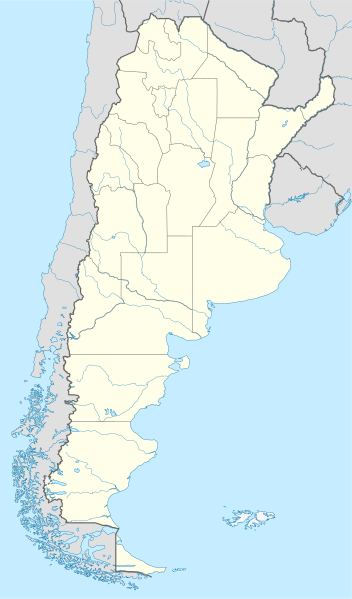
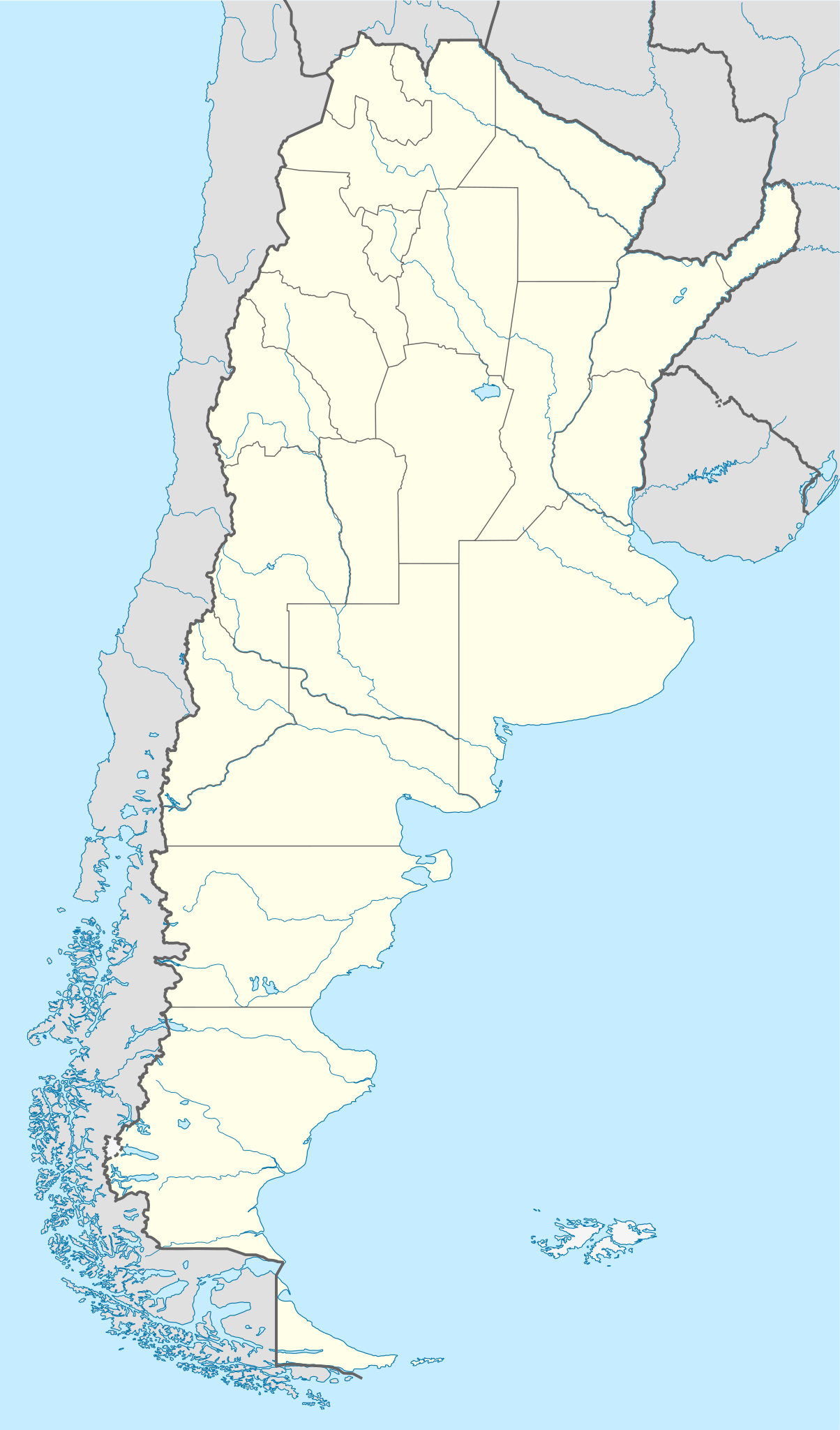
File:Argentina location map.svg

Size of this PNG preview of this SVG file: 352 × 599 pixels. Ither resolutions: 141 × 240 pixels | 282 × 480 pixels | 451 × 768 pixels | 602 × 1,024 pixels | 1,204 × 2,048 pixels | 1,418 × 2,412 pixels.
Oreeginal file (SVG file, nominallie 1,418 × 2,412 pixels, file size: 1.03 MB)
Ootline
.svg)
.svg)

|
This map has been made or improved in the German Kartenwerkstatt (Map Lab). You can propose maps to improve as well.
|
Licensin
I, the copyright holder of this work, hereby publish it under the following licenses:

|
Permission is grantit tae copy, distribute an/or modify this document unner the terms o the GNU Free Documentation License, Version 1.2 or ony later version published bi the Free Software Foundation; wi no Invariant Sections, no Front-Cover Texts, an no Back-Cover Texts. A copy o the license is includit in the section enteetled GNU Free Documentation License. |
This file is licensed unner the Creative Commons Attribution-Share Alike 3.0 Unported license.
- Ye are free:
- tae share – tae copy, distribute an transmit the wirk
- tae remix – tae adapt the wirk
- Unner the follaein condeetions:
- attribution – Ye must attribute the wirk in the manner specified bi the author or licensor (but nae in ony way that suggests that thay endorse ye or yer uise o the wirk).
- share alik – If ye alter, transform, or big upon this wirk, ye mey distribute the resultin wirk anly unner the same or seemilar license tae this ane.
Ye mey select the license o yer choice.
File history
Clap oan ae date/time fer tae see the file aes it kithed at that time.
| Date/Time | Thummnail | Dimensions | Uiser | Comment | |
|---|---|---|---|---|---|
| current | 15:26, 11 August 2022 | | 1,418 × 2,412 (1.03 MB) | Janitoalevic | Reverted to version as of 02:18, 25 May 2021 (UTC) |
| 00:27, 9 Mey 2022 |  | 1,418 × 2,412 (1.51 MB) | Buttons0603 | Reverted to version as of 20:33, 29 January 2021 (UTC) see below | |
| 02:18, 25 Mey 2021 |  | 1,418 × 2,412 (1.03 MB) | MinervaAustral | Reverted to version as of 03:37, 24 November 2018 (UTC) | |
| 20:33, 29 Januar 2021 |  | 1,418 × 2,412 (1.51 MB) | Buttons0603 | Reverted to version as of 13:13, 23 November 2018 (UTC) There is already a version with the Falklands in white at File:Argentina location map (+Falkland).svg for when such a map is needed. | |
| 03:37, 24 November 2018 |  | 1,418 × 2,412 (1.03 MB) | Cacen Gymraeg | Reverted to version as of 01:43, 6 November 2017 (UTC). Added claim territories (neutral point of view) | |
| 13:13, 23 November 2018 |  | 1,418 × 2,412 (1.51 MB) | Mr. James Dimsey | Reverted to version as of 23:25, 9 October 2015 (UTC) | |
| 01:43, 6 November 2017 |  | 1,418 × 2,412 (1.03 MB) | Janitoalevic | Added Fontana and Plata Lake. | |
| 01:37, 6 November 2017 |  | 1,418 × 2,412 (1.02 MB) | Janitoalevic | Fixed provincial and international borders. | |
| 21:36, 25 Mairch 2016 |  | 1,418 × 2,412 (997 KB) | Janitoalevic | Added all the Disputed Territories | |
| 19:00, 21 Mairch 2016 |  | 1,418 × 2,412 (994 KB) | Gustavo Girardelli | Detalles. |
.svg)
Eimage airtins
The follaein pages airts tae this image:
- 28 de Julio
- Altamirano, Buenos Aires
- Argentine Primera División
- Belén, Catamarca
- Bragado
- Brandsen
- Buenos Aires
- Camarones, Chubut
- Colón, Buenos Aires
- Concepción del Uruguay
- Coronel Martínez de Hoz
- Coronel Vidal
- Córdoba, Argentinae
- Dolavon
- El Triángulo
- El Turbio
- Empalme Villa Constitución
- Gaiman, Chubut
- Gastre
- General Alvear, Buenos Aires
- General Alvear, Mendoza
- General Baldissera
- General Juan Madariaga
- General Lavalle
- Godoy Cruz, Mendoza
- La Calera, San Luis
- La Emilia
- La Plata
- Las Heras, Mendoza
- Las Heras, Santa Cruz
- Lobería
- Los Cipreses
- Lules
- Mar del Plata
- Marcos Juárez
- Mendoza, Argentinae
- Mina 3
- Monte Buey
- Nueve de Julio, Buenos Aires
- Pampa Alta
- Perito Moreno, Santa Cruz
- Pila, Buenos Aires
- Pinamar
- Posadas, Misiones
- Rauch, Buenos Aires
- Rawson, Chubut
- Rivadavia, Mendoza
- Rosario
- Rosario del Tala
- Río Turbio
- Salsacate
- San Carlos, Mendoza
- San Carlos Minas
- San Carlos de Bolívar
- San Cayetano, Buenos Aires
- San Isidro, Catamarca
- San José, Entre Ríos
- San Salvador, Entre Ríos
- Santa María, Catamarca
- Santiago del Estero
- Trenque Lauquen
- Tres Arroyos
- Tres Lagos
- Tres Lomas
- Trevelin
- Villa Constitución
- Villa Cura Brochero
- Villa Dique Florentino Ameghino
- Villa Huidobro
- Villa Nueva, Mendoza
- Villa Tulumaya
- Template:Location map Argentina
Global file uisage
The follaein ither wikis uise this file:
- Uisage on af.wikipedia.org
- Comodoro Rivadavia
- Mar del Plata
- Bariloche
- La Plata
- Villa General Belgrano
- FIFA Sokker-Wêreldbekertoernooi in 1978
- Balcarce
- Sarmiento
- Sjabloon:Liggingkaart Argentinië
- Monserrat, Buenos Aires
- Aconcagua
- Ojos del Salado
- Los Toldos
- Coloradorivier (Argentinië)
- Rawson
- Ministro Pistarini Internasionale Lughawe
- Uisage on an.wikipedia.org
- Uisage on ar.wikipedia.org
- Uisage on ast.wikipedia.org
- Buenos Aires
- Abbott
- Agote (Buenos Aires)
- La Plata
- Partido de La Plata
- Abasto (La Plata)
- Ángel Etcheverry
- Arturo Seguí
- City Bell
- Joaquín Gorina
- José Hernández (Buenos Aires)
- Manuel B. Gonnet
- Ringuelet
- Tolosa (Buenos Aires)
- Villa Elvira
- Ignacio Correas
- El Peligro (La Plata)
- San Carlos (Buenos Aires)
- San Lorenzo (Buenos Aires)
- Ríu de la Plata
- Mendoza (Arxentina)
- Juan Tronconi
View mair global usage o this file.